Kettering
Videos
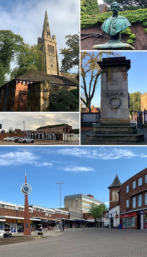
Kettering is a market and industrial town in North Northamptonshire, England, 67 miles (108 km) north of London and 15 miles (24 km) north-east of Northampton, west of the River Ise, a tributary of the River Nene. The name means "the place of Ketter's people ".

Corn Exchange, Market Square: Built 1853 and also served as a town hall until 1904.

Municipal Offices in Bowling Green Road

Wicksteed Park
River Ise
Videos
The River Ise is a river in Northamptonshire, England and a tributary of the River Nene.

The River Ise at Burton Latimer, Northamptonshire.

Swanspool Brook in Wellingborough.