Kham
Videos
Kham is one of the three traditional Tibetan regions, the others being Domey also known as Amdo in the northeast, and Ü-Tsang in central Tibet. The original residents of Kham are called Khampas, and w
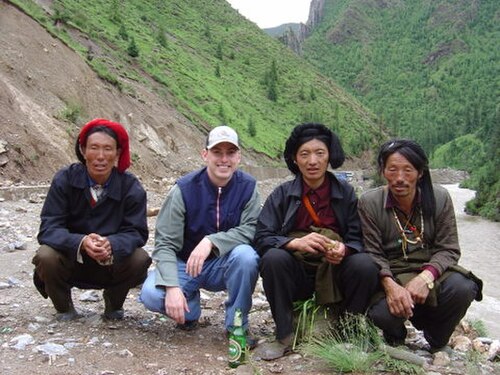
Kham men with western tourist

Monastery in Kham

ROC's control in Kham: Light blue line on the west represents the boundary in 1912–1917, after which the ROC was pushed back to the brown line during 1918–1932. By 1945, it arrived at the dotted red line. The dark blue was the Simla Convention boundary that ROC turned down.

Tibetan government's Kalon Lama Jampa Tendar, Governor General of Kham
Hengduan Mountains
Videos
The Hengduan Mountains are a group of mountain ranges in southwest China that connect the southeast portions of the Tibetan Plateau with the Yunnan–Guizhou Plateau. The Hengduan Mountains are primaril

Mount Gongga, the tallest summit in the Hengduan Mountains

Satellite view of the Hengduan Mountains

A bird's-eye view of the "Nujiang 72 turns" in Tibet.

Hailuogou glacier, slopes of Mount Gongga (Minya Konka), Sichuan province.