Kharovsky District is an administrative and municipal district (raion), one of the twenty-six in Vologda Oblast, Russia. It is located in the center of the oblast and borders with Vozhegodsky District in the north, Syamzhensky District in the east, Sokolsky District in the south, and with Ust-Kubinsky District in the west. The area of the district is 3,600 square kilometers (1,400 sq mi). Its administrative center is the town of Kharovsk. Population: 16,622 (2010 Russian census); 20,576 ; 25,219 (1989 Soviet census). The population of Kharovsk accounts for 60.6% of the district's total population.
The Verkhnyaya Kizma River in Kharovsky District
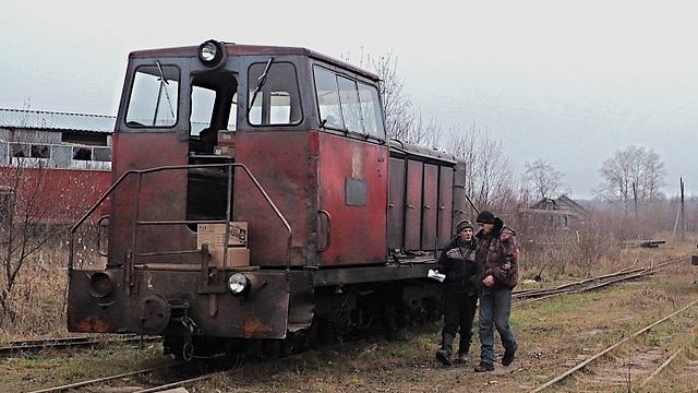
Semigorodnyaya Narrow Gauge Railroad
Sokolsky District, Vologda Oblast
Sokolsky District is an administrative and municipal district (raion), one of the twenty-six in Vologda Oblast, Russia. It is located in the center of the oblast and borders with Kharovsky and Syamzhensky Districts in the north, Totemsky District in the east, Mezhdurechensky District in the south, Vologodsky District in the southwest, and with Ust-Kubinsky District in the northwest. The area of the district is 4,100 square kilometers (1,600 sq mi). Its administrative center is the town of Sokol. Population: 12,947 (2010 Russian census); 14,951 ; 17,585 (1989 Soviet census).
The Intercession Church in the selo of Zamoshye
Ilyinsky Pogost close to the town of Kadnikov


