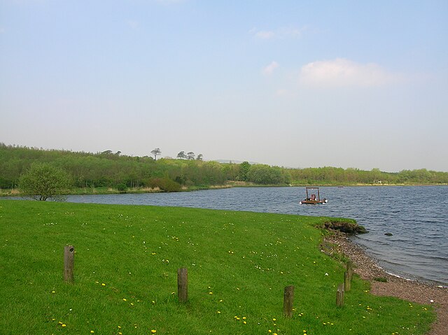
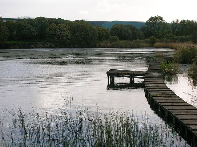
Kilbirnie Loch is a freshwater Loch situated in the floodplain between Kilbirnie, Glengarnock and Beith, North Ayrshire, Scotland. It runs south-west to north-east for almost 2 km (1.2 mi), is about 0.5 km (0.31 mi) wide for the most part and has an area of roughly 3 km2. It has a general depth of around 5.2 metres to a maximum of around 11 metres. The loch is fed mainly by the Maich Water, which rises in the Kilbirnie Hills near Misty Law, and is drained by the Dubbs Water that runs past the Barr Loch into Castle Semple Loch, followed by the Black Cart, the White Cart at Renfrew and finally the River Clyde. The boundary between East Renfrewshire and North Ayrshire, in the vicinity of the loch, runs down the course of the Maich Water along the northern loch shore to then run up beside the Dubbs Water.
The loch from the southern end
A view at the south end of the loch
Glengarnock Castle looking over the loch from the north
The Maich Water ford near East Lochridge
Kilbirnie is a small town of 7,280 inhabitants situated in the Garnock Valley area of North Ayrshire, on the west coast of Scotland. It is around 20 miles (30 km) southwest of Glasgow and approximately 10 miles from Paisley and 13 miles from Irvine respectively. Historically, the town's main industries were flax production and weaving before iron and steelmaking took over in the 19th and early 20th centuries. The suburb of Kilbirnie in the New Zealand capital of Wellington is named after the town.
Walker Memorial Hall
Kilbirnie Place, where the Scots mustered under Alexander III before the Battle of Largs
Moorpark House.
The Auld Kirk


