Kilimanjaro National Park
Kilimanjaro National Park is a Tanzanian national park located 300 kilometres (190 mi) south of the equator in the Kilimanjaro Region, Tanzania. The park is located near the region of Moshi. The park includes the whole of Mount Kilimanjaro above the tree line and the surrounding montane forest belt above 1,820 metres (5,970 ft). It covers an area of 1,688 square kilometres (652 sq mi), 2°50'–3°10'S 37°10'–37°40'E. The park is administered by the Tanzania National Parks Authority (TANAPA). It was established as a national park in 1973. It was declared a World Heritage Site by UNESCO in 1987 and Natural Wonder of Africa in 2013.
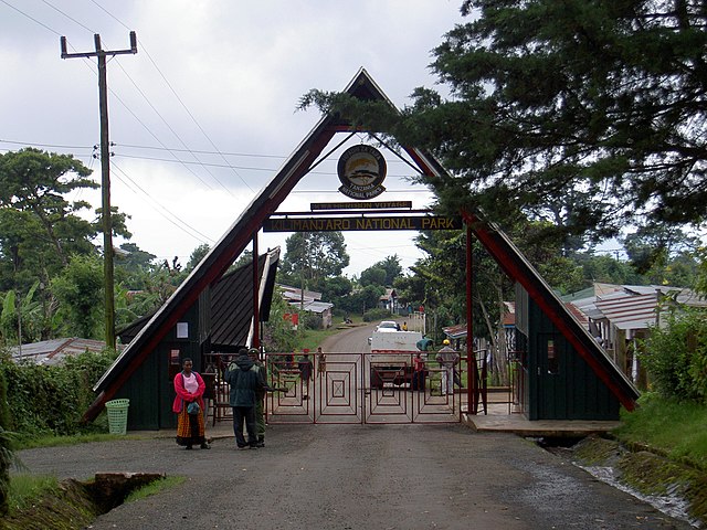
The entrance to Kilimanjaro national park
White-necked raven on Kilimanjaro
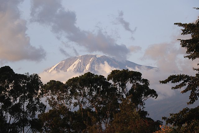
The Mount Kilimanjaro
Uhuru Peak - Mt.Kilimanjaro
Kilimanjaro Region is one of Tanzania's 31 administrative regions. The regional capital and largest city is the municipality of Moshi. With the 3rd highest HDI of 0.640 in the country, Kilimanjaro is one among the top five most developed regions of Tanzania. According to the 2012 national census, the region had a population of 1,640,087, which was lower than the pre-census projection of 1,702,207. For 2002–2012, the region's 1.8 percent average annual population growth rate was the 24th highest in the country. It was also the eighth most densely populated region with 124 people per square kilometer. The most well-known tribes in the Kilimanjaro region are the chagga, rombos, and pare.
Image: Uhuru Peak Mt. Kilimanjaro 1
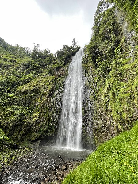
Image: Materuni Falls, Uru mashariki
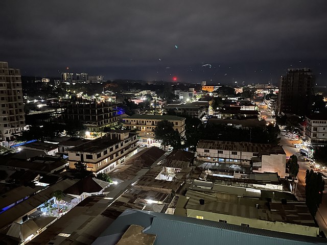
Image: View of west Kiusa Ward, Moshi
Mount Kilimanjaro