The Kirthar Mountains are a mountain range that mark the boundary between the Pakistani provinces of Balochistan and Sindh, and which comprise much of the Kirthar National Park. The mountain range forms part of the Kirthar-Sulaiman geological province, which stretches from the Arabian Sea coast north to the Sulaiman Mountains in northwest Pakistan. The highest peak of the mountains is Zardak Peak at 7,430 ft (2,260 m).
Cold water spring in the Kirthar National Park
Chinkara gazelle in the Kirthar Mountains
Another view of the Kirthar National Park
The Taung Tombs
Sindh is a province of Pakistan. Located in the southeastern region of the country, Sindh is the third-largest province of Pakistan by land area and the second-largest province by population after Punjab. It is bordered by the Pakistani provinces of Balochistan to the west and north-west and Punjab to the north. It shares an International border with the Indian states of Gujarat and Rajasthan to the east; it is also bounded by the Arabian Sea to the south. Sindh's landscape consists mostly of alluvial plains flanking the Indus River, the Thar Desert of Sindh in the eastern portion of the province along the international border with India, and the Kirthar Mountains in the western portion of the province.
Image: Jinnah Mausoleum
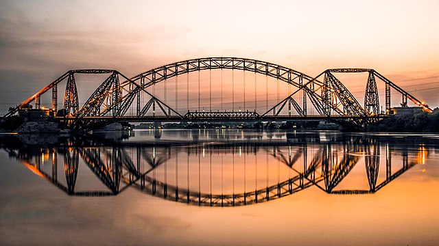
Image: Rohri
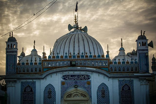
Image: Sunset at Shrine of Shah Abdul Latif Bhittai
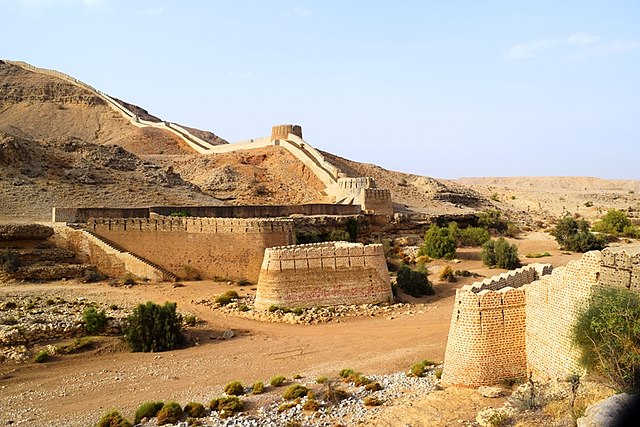
Image: Ranikot fort 2 (asad aman)