Kishtwar district is an administrative district of the Jammu division of Indian-administered Jammu and Kashmir in the Jammu Division. As of 2011, it is the largest and the least populous district of Jammu and Kashmir.
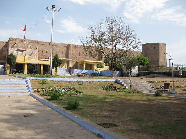
View of Gulabgarh Town in Kishtwar
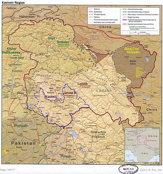
Kishtwar district is in the Jammu division (shown with neon blue boundary) of Indian-administered Jammu and Kashmir (shaded in tan in the disputed Kashmir region
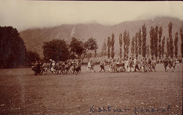
Funeral procession: Kishtwar locals honor departed with drum beats. Photographed by Ralph Randles Stewart in 1913
View from Aarse (Pochal, Kishtwar)
The Jammu division is a revenue and administrative division of the Indian-administered Jammu and Kashmir in the disputed Kashmir region. It is bordered by the Kashmir division to the north. It consists of the districts of Jammu, Doda, Kathua, Ramban, Reasi, Kishtwar, Poonch, Rajouri, Udhampur and Samba. Most of the land is hilly or mountainous, including the Pir Panjal Range which separates it from the Kashmir Valley and part of the Great Himalayas in the eastern districts of Doda and Kishtwar. Its principal river is the Chenab.
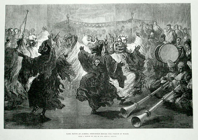
Lama dance at Jummoo,
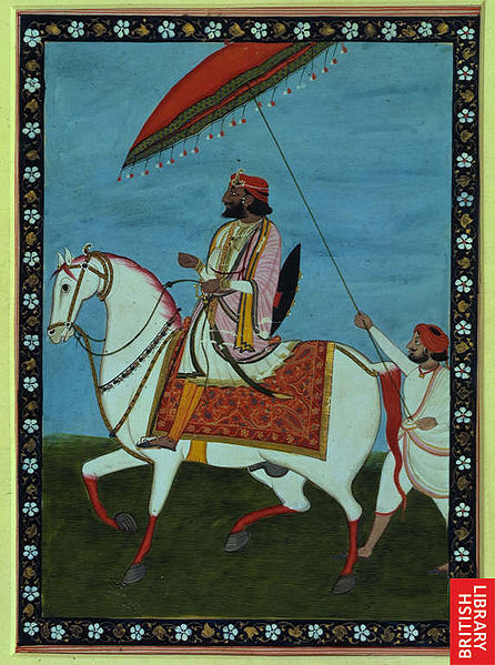
Maharaja Gulab Singh, the founder of princely state of Jammu and Kashmir
The Vaishno Devi shrine attracts millions of Hindu devotees every year
Bahu Fort


