The Kokoda Track or Trail is a single-file foot thoroughfare that runs 96 kilometres (60 mi) overland – 60 kilometres (37 mi) in a straight line – through the Owen Stanley Range in Papua New Guinea (PNG). The track was the location of the 1942 World War II battle between Japanese and Allied – primarily Australian – forces in what was then the Australian territory of Papua.
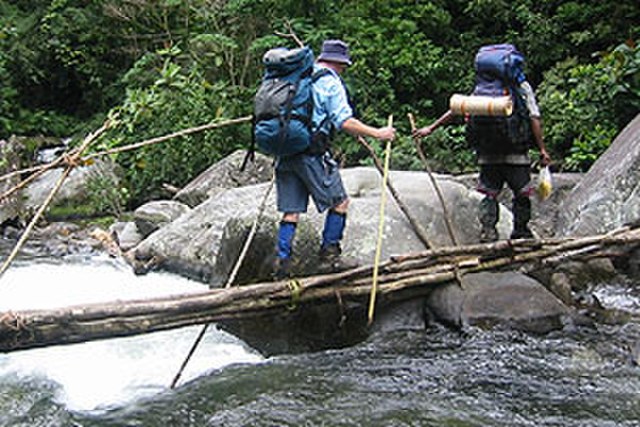
Crossing Eora Creek on the Kokoda Track
View from plane flying over the Owen Stanley Range from Kokoda back to Port Moresby
The monument at Owers' Corner
Walking the Kokoda track
The Territory of Papua comprised the southeastern quarter of the island of New Guinea from 1883 to 1975. In 1883, the Government of Queensland annexed this territory for the British Empire. The United Kingdom Government refused to ratify the annexation but in 1884 a protectorate was proclaimed over the territory, then called "British New Guinea". There is a certain ambiguity about the exact date on which the entire territory was annexed by the British. The Papua Act 1905 recites that this happened "on or about" 4 September 1888. On 18 March 1902, the Territory was placed under the authority of the Commonwealth of Australia. Resolutions of acceptance were passed by the Commonwealth Parliament, which accepted the territory under the name of Papua.
The British flag being raised in 1883 after Queensland annexed the southern part of New Guinea
Australian troops at Milne Bay, Papua. The Australian army was the first to inflict defeat on the Imperial Japanese Army during World War II at the Battle of Milne Bay of August–September 1942.


