Kongur Tagh
Videos
The Kongur Tagh is the highest peak in the Pamir Mountains, and also the highest mountain wholly within the Xinjiang Uyghur Autonomous Region, China. With an elevation of 7,649 metres, it is also the

South face of Kongur Tagh

Kongur Tagh Karakoram Highway Kashgar Xinjiang China
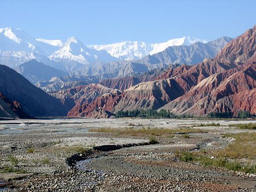
Kongur Tagh (left) and Kongur Tiube (slightly to the right) as seen from the Karakoram Highway on the way from Kashgar to lake Karakul

Kongur Tagh (towards the right edge of the photo) and Kongur Tiube (center) as seen from lake Karakul
Muztagh Ata
Videos
Muztagh Ata, formerly known as Mount Tagharma and Wi-tagh, is the second highest of the mountains which form the northern edge of the Tibetan Plateau, with an elevation of 7,546 m. It is sometimes reg

Muztagh Ata, as viewed from the Karakoram Highway

There is a glacier park located at 4688m above sea level.