Kroombit Tops National Park
Kroombit Tops is a national park in Central Queensland, Australia. It is between Monto and Calliope. It is two parts. The largest part is within the localities of Tablelands, Valentine Plains, Cania and Boyne Valley, while the smaller part is in the locality of Mount Alma. It is 399 km northwest of Brisbane. Cania Gorge National Park is located approximately 25 km to the south.
Griffiths Creek Campground, Kroombit Tops National Park
Wreckage of Beautiful Betsy, 2011
Central Queensland is an imprecisely-defined geographical division of Queensland that centres on the eastern coast, around the Tropic of Capricorn. Its major regional centre is Rockhampton. The region extends from the Capricorn Coast west to the Central Highlands at Emerald, north to the Mackay Regional Council southern boundary, and south to Gladstone. The region is also known as Capricornia. It is one of Australia's main coal exporting regions.
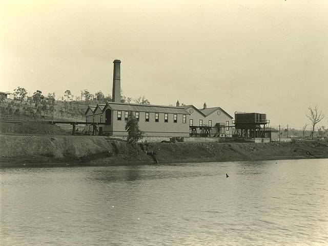
Gold processing plant at Mount Morgan, 1903
The Big Sapphire Ring, Sapphire, 2012
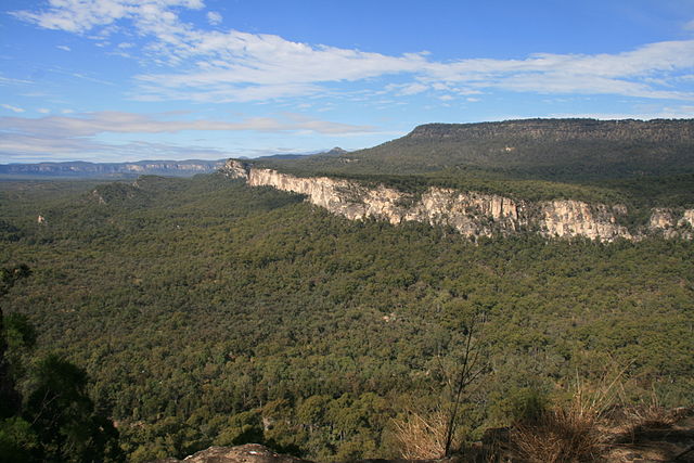
Carnarvon Gorge from Boolimba Bluff, 2010
Mount Castletower and Lake Awoonga