Kulosaari is an island and an
East Helsinki suburb in Helsinki, Finland. It is also the 42nd neighbourhood of the city. Construction of villas on the island started in the beginning of the 20th century, and a bridge from Sörnäinen was opened in 1919. Kulosaari was an independent municipality since 1922 until 1946, when it was merged to Helsinki.
Kulosaari from the air, looking westwards towards the centre of Helsinki, with the connected island of Mustikkamaa visible on the left.
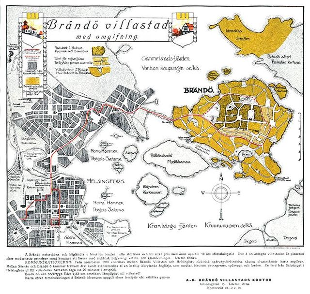
Plan for the Brändö garden suburb, after Lars Sonck, c. 1909.
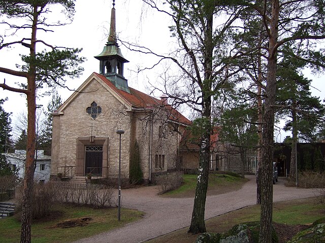
Kulosaari Church, Bertel Jung, 1935.
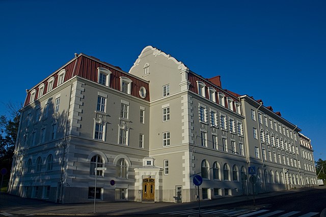
Domus apartment building, J.S Sirén, 1916.
East Helsinki is an area in Helsinki, Finland, usually thought to comprise the city's eastern and south-eastern major districts, including the districts of Vartiokylä, Myllypuro, Mellunkylä, Vuosaari, Herttoniemi, Laajasalo and Kulosaari. With the exception of Kulosaari, the buildings in the area are relatively new – most have been built in the 1960s or later – and constitute relatively densely inhabited suburbs, except for the southern part of Laajasalo and most of Kulosaari. On the other side of the bridge to the west of Kulosaari is Helsinki Downtown, the so-called "South Helsinki". Officially, the name "East Helsinki" is not found in the city's regional nomenclature, but it was a name created by the locals of the area.
Entrance into Itäkeskus metro station. The Helsinki Metro forms the core of public transport in East Helsinki.
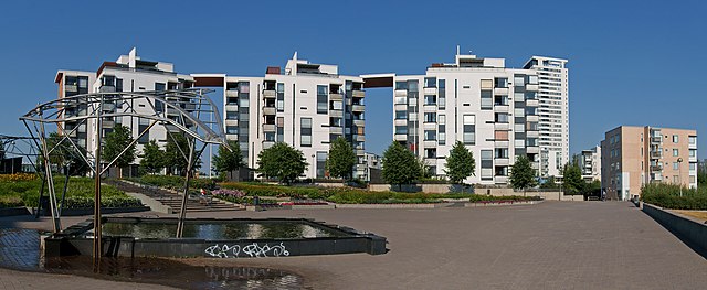
Residential buildings in Vuosaari, Helsinki.
Uutela nature park in Vuosaari is one of the many public areas for outdoor recreation in East Helsinki.
Roihuvuori water tower.


