Kurnool district
Videos
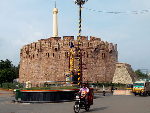
Kurnool district is one of the eight districts in the Rayalaseema region of the Indian state of Andhra Pradesh after the districts are reorganised in April 2022. It is located in the north western part of the state and is bounded by Nandyal district in the east, Anantapur district in the south, Raichur district of Karnataka in the northwest, Bellary district of Karnataka in the west, and Jogulamba Gadwal district of Telangana in the north. It has a population of 2,271,686 based on the 2011 census. The city of Kurnool is the headquarters of the district.
Konda Reddy Burju

Pre Historic Sites of Krishna-Tungabhadra valley, scattered at different places in Kurnool district

Asoka Inscription ASI Board
Rayalaseema
Videos
Rayalaseema is a geographic region in the Indian state of Andhra Pradesh. It comprises four southern districts of the State, from prior to the districts reorganisation in 2022, namely Kurnool, Anantapur, YSR, and Chittoor. Four new districts were created from these, namely Sri Sathya Sai, Nandyal, Annamayya, and Tirupati. As of 2011 census of India, the western four districts of the region had a population of 15,184,908 and cover an area of 77,424 km2 (29,894 sq mi).

Image: Andhra Pradesh Landscapes from Andhra Pradesh, views from Indias South Central Railway (77)

Image: Venkateshwara Tirupati Temple

Image: Shiva's Bull at Lepakshi (Lepakshi Nandi)