The Lübbecke Loessland is a natural region that is mainly situated in northeastern North Rhine-Westphalia but with a small area also lying in the western part of Lower Saxony in Germany. It is a belt of land, covered by loess, about 2 to 5 km wide and around 35 km long, that lies just north of the eastern part of the Wiehen Hills. The total area of the region is about 100 km2. The Lübbecke Loessland is a transitional region between the North German Plain and the Central Uplands. To the north it borders on the Rahden-Diepenau Geest and, to the east, on the Middle Weser Valley. The town of Lübbecke lies in the centre of the region.
The Lübbecke Loessland seen from the Wiehen. In the background is the village of Blasheim which roughly marks the northern boundary of the region. On the horizon: the Stemweder Berg
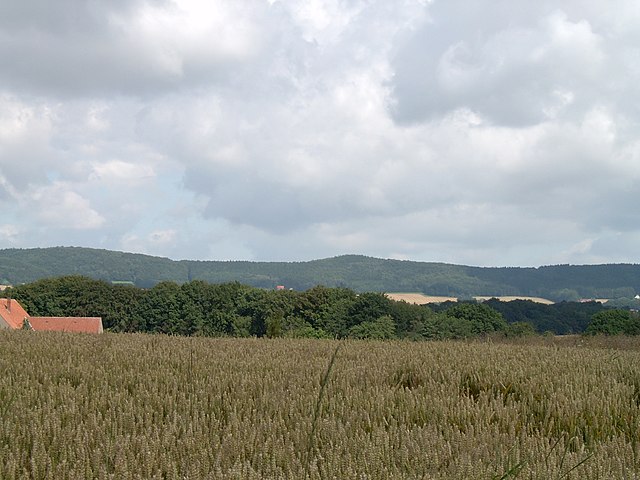
The Lübbecke Loessland not far from the village of Obermehnen. In the foreground sheep known as Schwarzbunte graze on one of the rather rare pastures within the loess landscape
The Wiehen Hills are a hill range in North Rhine-Westphalia and Lower Saxony in Germany. The hills run from west to east like a long finger away from the main upland area of the Lower Saxon Hills, beginning at the Weser River near Minden and terminating in the vicinity of Osnabrück.
It is the northernmost of the German Central Upland ranges extending into the Northern Lowlands.
Their highest hill is the Heidbrink near Lübbecke with an altitude of 320 metres (1,050 ft).
The Wiehen Hills near Schnathorst, seen from the southeast
Wiehen Hills
The Porta Westfalica defines the eastern end of the Wiehen Hills (left). To the east, on the other side of the Weser, the hills continue as the Wesergebirge (right).
Southern view near Lübbecke