La Perla, San Juan, Puerto Rico
La Perla is a historical shanty town astride the northern historic city wall of Old San Juan, Puerto Rico, stretching about 650 yards (600 m) along the rocky Atlantic coast immediately east of the Santa Maria Magdalena de Pazzis Cemetery and down the slope from Calle Norzagaray.
La Perla and Old San Juan skyline from the sea
Aerial view of La Perla outside the historical City Wall of San Juan
La Perla seen from Castillo San Cristóbal towards Castillo San Felipe del Morro
La Perla is within two subbarrios, Mercado and San Cristobal
Old San Juan is a historic district located at the "northwest triangle" of the islet of San Juan in San Juan. Its area roughly correlates to the Ballajá, Catedral, Marina, Mercado, San Cristóbal, and San Francisco sub-barrios (sub-districts) of barrio San Juan Antiguo in the municipality of San Juan, Puerto Rico. Old San Juan is the oldest settlement within Puerto Rico and the historic colonial district of the city of San Juan. This historic district is a National Historic Landmark District named Zona Histórica de San Juan and is listed on the United States National Register of Historic Places as the Old San Juan Historic District. Several historical buildings and structures, particularly La Fortaleza, the city walls, and El Morro and San Cristóbal castles, have been inscribed in the UNESCO World Heritage Site list since 1983. Historically the mixed-use commercial and residential real estate in the main streets of Calle Cristo and Calle Fortaleza from Calle Tanca to the Governor’s Mansion is the most valuable in the area and it has kept its value and increased steadily through several years despite the past economic turmoils.

Aerial view of Castillo San Felipe del Morro and Old San Juan
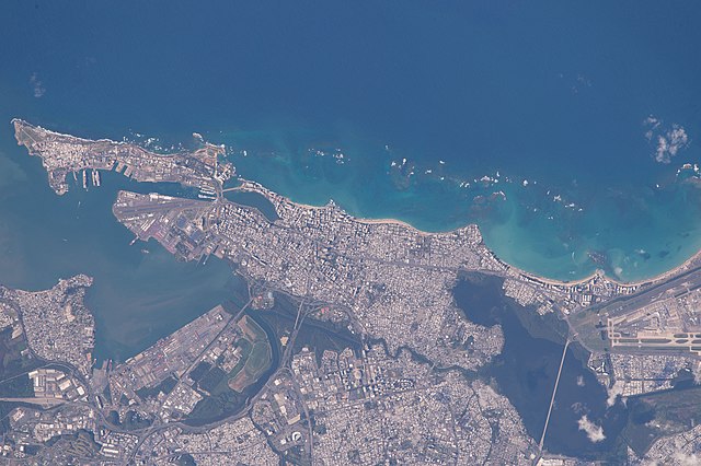
Satellite image of Old San Juan within San Juan Antiguo alongside Santurce
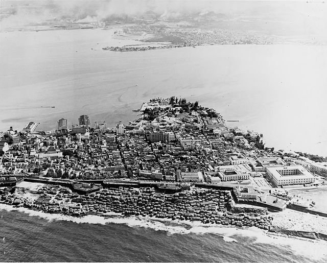
Aerial view of Old San Juan in 1952
The 42-foot (12.8 m) wall that surrounds Old San Juan (as seen near the San Juan Gate)