Lake-effect snow is produced during cooler atmospheric conditions when a cold air mass moves across long expanses of warmer lake water. The lower layer of air, heated by the lake water, picks up water vapor from the lake and rises through colder air. The vapor then freezes and is deposited on the leeward (downwind) shores.
A cold northwesterly to westerly wind over all the Great Lakes created the lake-effect snowfall of January 10, 2022.
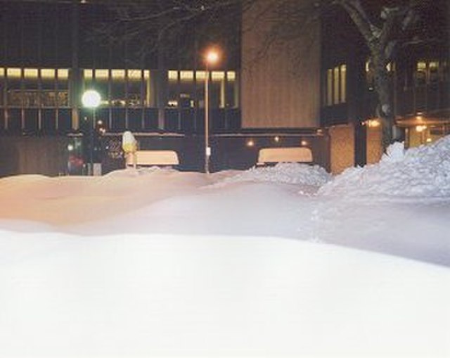
Buffalo, New York, after 82.3 inches (209 cm) of snow fell from December 24, 2001, to December 28, 2001
Fulton, New York, after a snowburst dropped 4–6 feet (122–183 cm) of snow over most of Oswego County January 28–31, 2004
The Veteran's Day storm of November 9–14, 1996, may be the most severe early-season lake-effect snow storm the Great Lakes has witnessed in the past 50 years. At the height of the storm, over 160,000 customers were without power in Greater Cleveland alone, as the storm produced isolated snowfall tallies approaching 70 inches (178 cm).
In meteorology, an air mass is a volume of air defined by its temperature and humidity. Air masses cover many hundreds or thousands of square miles, and adapt to the characteristics of the surface below them. They are classified according to latitude and their continental or maritime source regions. Colder air masses are termed polar or arctic, while warmer air masses are deemed tropical. Continental and superior air masses are dry, while maritime and monsoon air masses are moist. Weather fronts separate air masses with different density characteristics. Once an air mass moves away from its source region, underlying vegetation and water bodies can quickly modify its character. Classification schemes tackle an air mass's characteristics, as well as modification.
Picture of cold front (left part of the image) moving over the Czech Republic
Lake-effect snow bands near the Korean Peninsula


