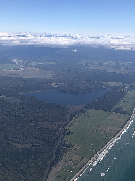
Lake Mahinapua is a shallow lake on the West Coast of New Zealand's South Island. Once a lagoon at the mouth of the Hokitika River, it became a lake when the river shifted its course. Lake Māhinapua was the site of a significant battle between Ngāi Tahu and Ngāti Wairangi Māori, and is regarded by them as a sacred site where swimming and fishing are prohibited. In European times it was part of an inland waterway that carried timber and settlers between Hokitika and Ross until the building of the railway. Today it is protected as a scenic reserve for boating, camping, and hiking.
Lake Mahinapua
Aerial view of Lake Mahinapua from the north
A kayaker on Mahināpua Creek
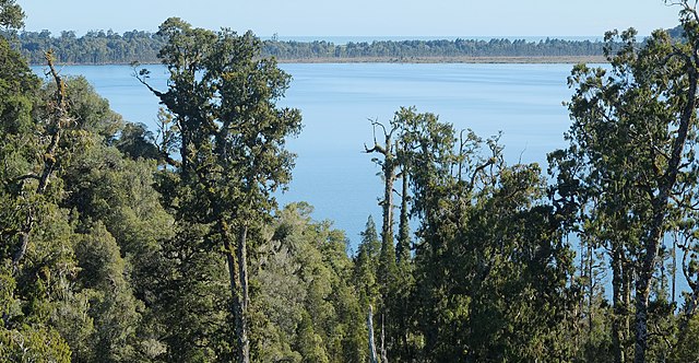
View from a tower on the nearby West Coast Treetop Walk
Ngāi Tahu, or Kāi Tahu, is the principal Māori iwi (tribe) of the South Island. Its takiwā is the largest in New Zealand, and extends from the White Bluffs / Te Parinui o Whiti, Mount Mahanga and Kahurangi Point in the north to Stewart Island / Rakiura in the south. The takiwā comprises 18 rūnanga corresponding to traditional settlements. According to the 2018 census an estimated 74,082 people affiliated with the Kāi Tahu iwi.
Traditional rohe
North Island coast, north of Gisborne. Ngāi Tahu originated in the Gisborne District
A view of Wellington Harbour, Ngāi Tahu lived in this area before migrating to the South Island
Kaikōura's coast, looking north from the train station. Ngāti Kurī is the local hapū of the area