Lake Tauca is a former lake in the Altiplano of Bolivia. It is also known as Lake Pocoyu for its constituent lakes: Lake Poopó, Salar de Coipasa and Salar de Uyuni. The lake covered large parts of the southern Altiplano between the Eastern Cordillera and the Western Cordillera, covering an estimated 48,000 to 80,000 square kilometres of the basins of present-day Lake Poopó and the Salars of Uyuni, Coipasa and adjacent basins. Water levels varied, possibly reaching 3,800 metres (12,500 ft) in altitude. The lake was saline. The lake received water from Lake Titicaca, but whether this contributed most of Tauca's water or only a small amount is controversial; the quantity was sufficient to influence the local climate and depress the underlying terrain with its weight. Diatoms, plants and animals developed in the lake, sometimes forming reef knolls.

Satellite image of the Altiplano. The green, brown and white surfaces in the lower right quadrant of the image are Lake Poopó, Salar de Coipasa and Salar de Uyuni, respectively. The blue surface at centre top is Lake Titicaca
The Altiplano and extent of Lake Tauca, clearly visible in the topography of the central Andes
The basin of Lake Poopó (upper right), Salar de Uyuni (white beneath centre) and Salar de Coipasa (white left of centre)
Salar de Ascotan
The Altiplano, Collao or Andean Plateau, in west-central South America, is the most extensive high plateau on Earth outside Tibet. The plateau is located at the latitude of the widest part of the north–south-trending Andes. The bulk of the Altiplano lies in Bolivia, but its northern parts lie in Peru, and its southwestern fringes lie in Chile.
La Paz, Bolivia, is the second-largest city located in the Altiplano
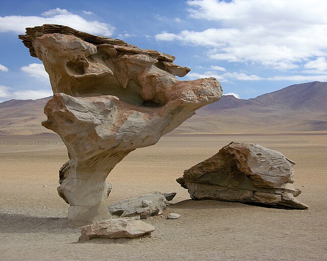
A rock sculpted by wind erosion (or Aeolian processes) in the Bolivian Altiplano.
The Bolivian Altiplano at about 4,250 m (14,000 feet). The snow-covered peaks of the Cordillera Real rise in the background.
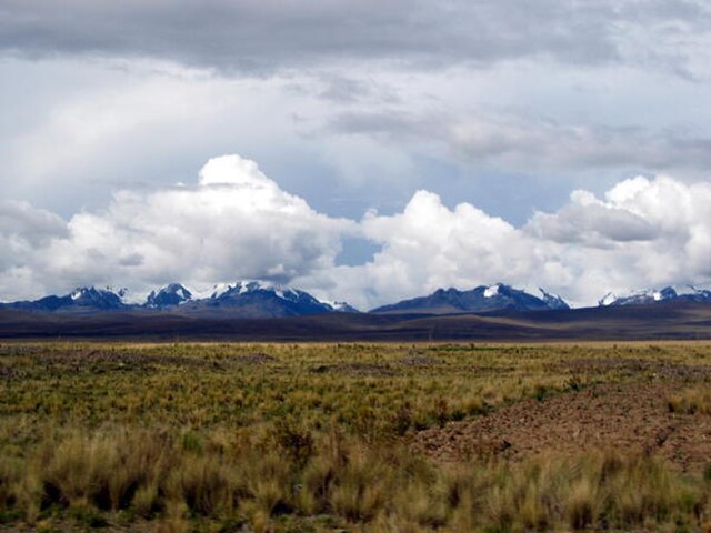
Panorama of Peruvian Altiplano.