Lalmonirhat is a district, situated at the northern border of Bangladesh. It is a part of the Rangpur Division. Lalmonirhat mahakuma was established as a district on 1 February 1984. It lies north of Kochbihar and Jalpaiguri of West Bengal, south of Rangpur, east of Kurigram and Kochbihar and west of Rangpur and Nilphamari district. The international border line of Lalmonirhat district is 281.6 km long.
Image: Lost Mosque (10)
Image: Entrance of Tin Bigha Corridor (01.03.2019)
Image: Kakina Zamindar Bari (11)
Image: Angorpota, Dahagram Union, Patgram
Rangpur Division is one of the Divisions in Bangladesh. It was formed on 25 January 2010, as Bangladesh's 7th division. Before that, it was under Rajshahi Division. The Rangpur division consists of eight districts. There are 58 Upazilas or subdistricts under these eight districts. Rangpur is the northernmost division of Bangladesh and has a population of 17,610,956 in the 2022 Census.
Image: Tajhat Rajbari
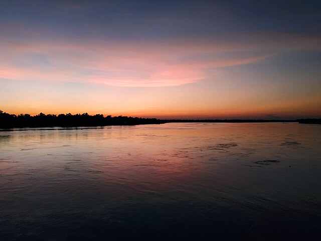
Image: Sun set at Dharla river
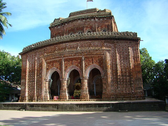
Image: Kantaji Temple Dinajpur Bangladesh (12)
Image: Rangpur town hall 01