A landform is a natural or anthropogenic land feature on the solid surface of the Earth or other planetary body. Landforms together make up a given terrain, and their arrangement in the landscape is known as topography. Landforms include hills, mountains, canyons, and valleys, as well as shoreline features such as bays, peninsulas, and seas, including submerged features such as mid-ocean ridges, volcanoes, and the great ocean basins.
This conical hill in Salar de Arizaro, Salta, Argentina called Cono de Arita constitutes a landform.
Panorama of Great Smoky Mountains National Park showing physical features of a rolling plain, actually part of a broad valley, distant foothills, and a backdrop of the old, much weathered Appalachian mountain range
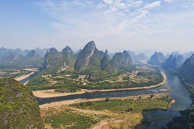
Karst tower landforms along Lijiang River, Guilin, China
Land, also known as dry land, ground, or earth, is the solid terrestrial surface of Earth not submerged by the ocean or another body of water. It makes up 29.2% of Earth's surface and includes all continents and islands. Earth's land surface is almost entirely covered by regolith, a layer of rock, soil, and minerals that forms the outer part of the crust. Land plays an important role in Earth's climate system, being involved in the carbon cycle, nitrogen cycle, and water cycle. One-third of land is covered in trees, another third is used for agriculture, and one-tenth is covered in permanent snow and glaciers. The remainder consists of desert, savannah, and prairie.
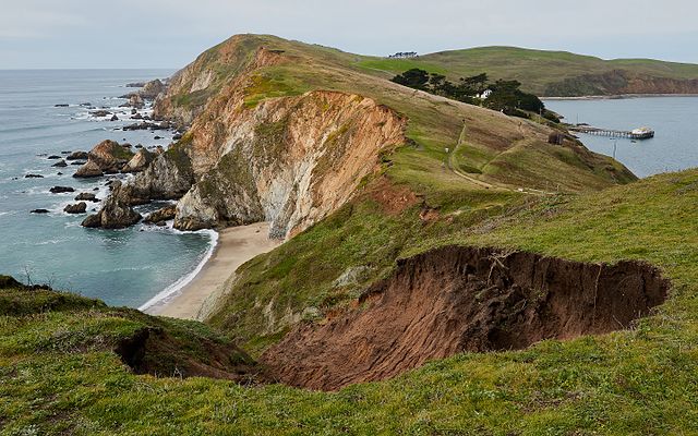
Land between bodies of water at Point Reyes National Seashore, California
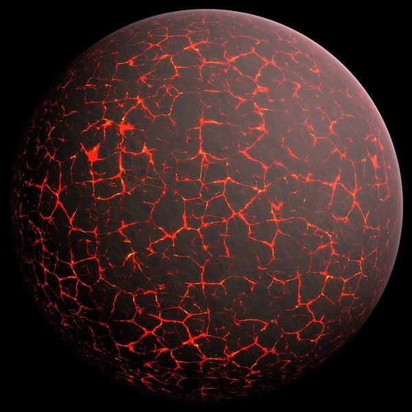
Artist's conception of Hadean Eon Earth
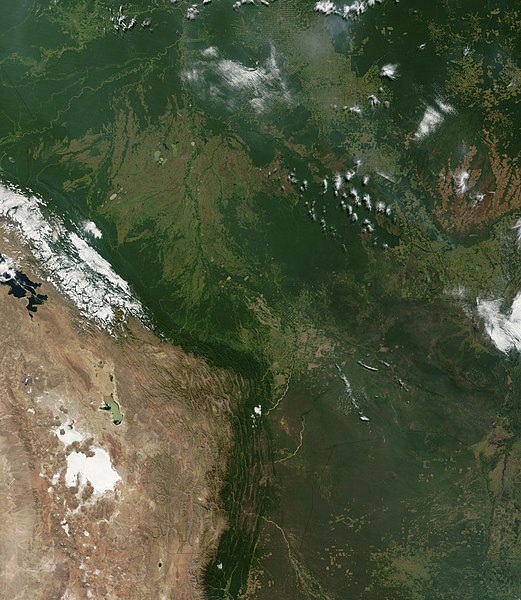
The Andes create a rain shadow, separating the wet Amazon basin from the dry Altiplano.
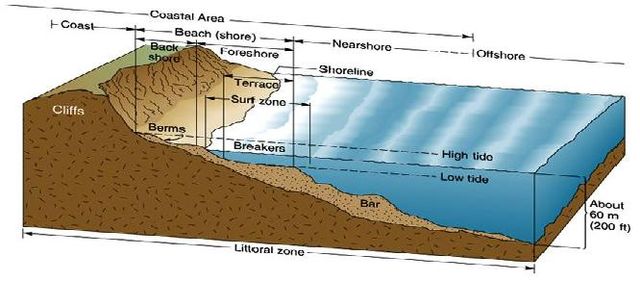
A simplified diagram of the littoral zone, which includes the coast and nearby waters


