is a town/city in Larvik Municipality in Vestfold county, Norway. The town is the administrative centre of the large municipality which stretches inland for over 50 kilometres (31 mi) from the coast. The town is located near the Skaggerak coast, wedged between the Larviksfjorden to the south, the lake Farris to the north, and the river Lågen along the east side of the town. The town was established in 1671. The town became a self-governing municipality on 1 January 1838 under the formannskapsdistrikt law. The town remained self-governing until 1 January 1988 when it was merged with the neighboring town of Stavern and three neighboring rural municipalities to form a much larger Larvik Municipality.
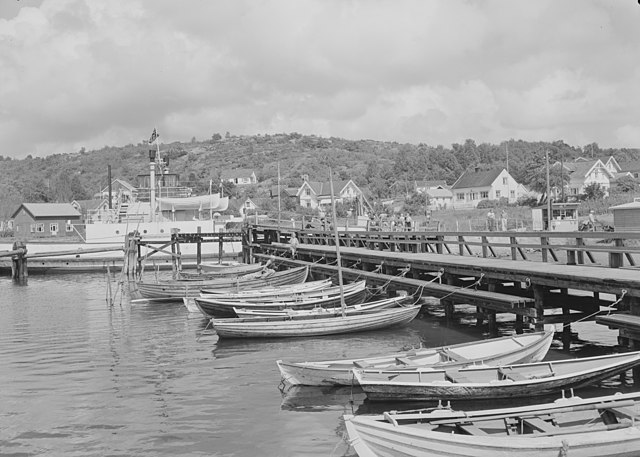
View of the town harbour
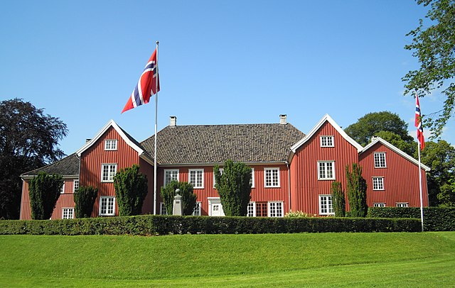
Herregården estate in Larvik
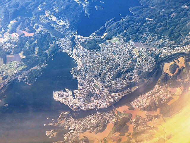
Aerial view of the city in 2012
Larvik is a municipality in Vestfold county, Norway. It is located in the traditional district of Vestfold. The administrative centre of the municipality is the city of Larvik. Other main population centres in the municipality include the town of Stavern and the villages of Gjone, Helgeroa, Hem, Kjose, Kvelde, Nevlunghavn, Skinmo, Svarstad, Ula, Verningen, and Tjøllingvollen.
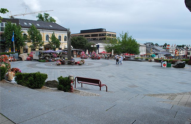
Larvik town square, 2008
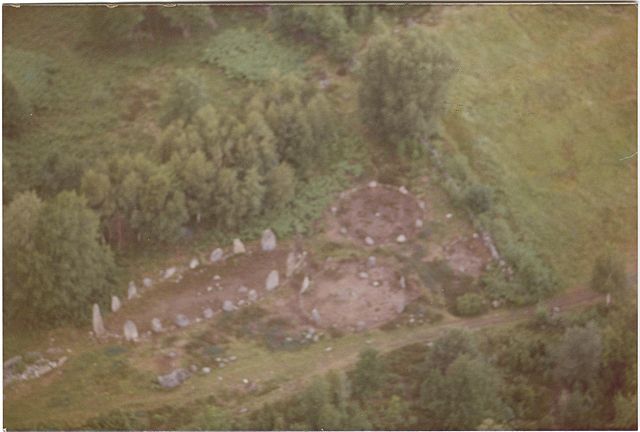
Istrehågan contains rock carvings dated to 1500-500 BCE.
Helgeroa Harbour in 1953.
Beach at Ula.


