Las Bocas
Videos
Photos
Las Bocas is a minor archaeological site in the Mexican state of Puebla, whose name has become attached, often erroneously, to a wide-ranging type of Olmec-style figurines and pottery.
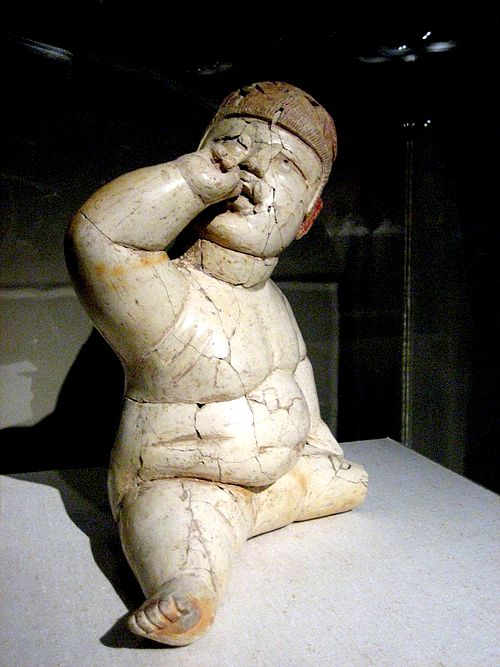
An archetypical baby-face figurine from Las Bocas.

An Olmec-style bottle, reputedly from Las Bocas, 1100 - 800 BCE.
Olmecs
Videos
Photos
The Olmecs were the earliest known major Mesoamerican civilization. Following a progressive development in Soconusco, they occupied the tropical lowlands of the modern-day Mexican states of Veracruz and Tabasco. It has been speculated that the Olmecs derived in part from the neighboring Mokaya or Mixe–Zoque cultures.

Olmec Head No. 3 from San Lorenzo-Tenochtitlán; 1200–900 BCE; basalt; height: 1.8 m, length: 1.28 m, width: 0.83 m; Xalapa Museum of Anthropology (Xalapa, Mexico)

El Señor de las Limas; 1000–600 BCE; greenstone; height: 55 cm; Xalapa Museum of Anthropology

The Wrestler; 1200–400 BCE; basalt; height: 66 cm, from the Arroyo Sonso area (Veracruz, Mexico); Museo Nacional de Antropología. Olmec artists are known for both monumental and miniature portrayals of what are assumed to be persons of authority-from six-ton heads sculptures to figurines.

Great pyramid in La Venta, Tabasco