The Laurentian Upland is a physiographic region which, when referred to as the "Laurentian Region" or the Grenville geological province, is recognized by Natural Resources Canada as one of five provinces of the larger Canadian Shield physiographic division. The United States Geological Survey recognizes the Laurentian Upland as the larger general upland area of the Canadian Shield.
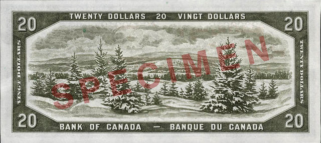
A scene of the Laurentians based on a photograph from the Provincial Publicity Bureau of Quebec engraved by William Ford was on the $20 banknote of the 1954 Series.
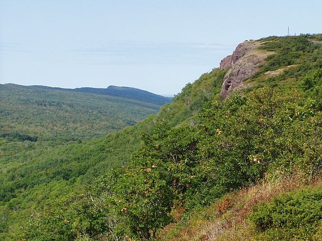
Brockway Mountains of the Keweenaw Peninsula, Michigan (Precambrian of the Keweenian Series)
The Canadian Shield, also called the Laurentian Shield or the Laurentian Plateau, is a geologic shield, a large area of exposed Precambrian igneous and high-grade metamorphic rocks. It forms the North American Craton, the ancient geologic core of the North American continent. Glaciation has left the area with only a thin layer of soil, through which exposures of igneous bedrock resulting from its long volcanic history are frequently visible. As a deep, common, joined bedrock region in eastern and central Canada, the shield stretches north from the Great Lakes to the Arctic Ocean, covering over half of Canada and most of Greenland; it also extends south into the northern reaches of the continental United States.
Panorama of Canadian Shield geography in the Flin Flon, Manitoba, region. Big Island Lake is in the background.
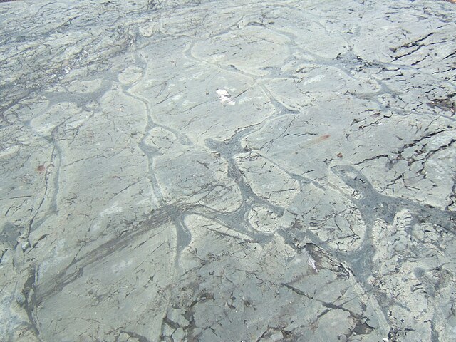
Weathered Precambrian pillow lava in the Temagami Greenstone Belt
Folded Precambrian gneiss of the Canadian Shield in Georgian Bay, Ontario
Typical Canadian Shield landscape: spruce, lakes, bogs, and rock


