Lea Valley Walk
Videos
Page
The Lea Valley Walk is a 50-mile (80 km) long-distance path located between Leagrave, the source of the River Lea near Luton, and the Thames, at Limehouse Basin, Limehouse, east London. From its source much of the walk is rural. At Hertford the path follows the towpath of the River Lee Navigation, and it becomes increasingly urbanised as it approaches London. The walk was opened in 1993 and is waymarked throughout using a swan logo.

The trail goes through Wardown Park
Signpost above Enfield Lock. A glimpse of Government Row in the background. Note the variant spellings of the river

Dobbs Weir lies on the trail

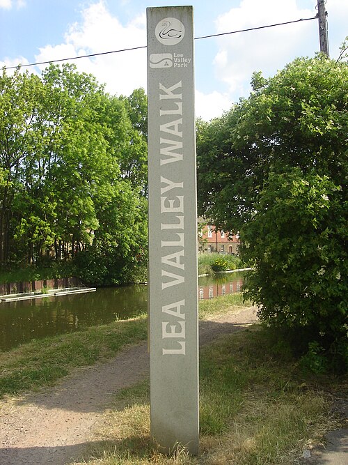
Waymark on the walk
River Lea
Videos
Page
The River Lea is in the East of England and Greater London. It originates in Bedfordshire, in the Chiltern Hills, and flows southeast through Hertfordshire, along the Essex border and into Greater London, to meet the River Thames at Bow Creek. It is one of the largest rivers in London and the easternmost major tributary of the Thames.

River Lea at Hertford Basin
A pedestrian suspension bridge spans the boating lake created where the widened river flows through Wardown Park in Luton.

The River Lea at Great Amwell, home of the Amwell Magna Fishery, was fished by Izaak Walton – author of The Compleat Angler

River Lea, Diversion, and Flood Relief channels at Tottenham