Leagrave is a former village and now a suburb of Luton, in the Luton district, in the ceremonial county of Bedfordshire, England, in the northwest of the town. The current council ward is roughly bounded by Vincent Road, Torquay Drive and High Street to the north, Roman Road and Stoneygate Road to the south, the M1 to the west, and Marsh Road and Leagrave Park to the east.
Dordans Road in Leagrave, showing typical interwar properties
Main station building on Platform 4 at Leagrave
River Lea as it passes through Leagrave Park
River Lee in Leagrave MarshOnly a few hundred metres from its source and the River Lee is already over 10 metres wide here. The confluence of Houghton Brook with the river is just up the watercourse on the left.
Luton is a town and unitary authority with borough status in Bedfordshire, England, with a population at the 2021 census of 225,262.
Image: Luton Town Hall and War Memorial (01)
Image: Luton Hoo (South Face 01)
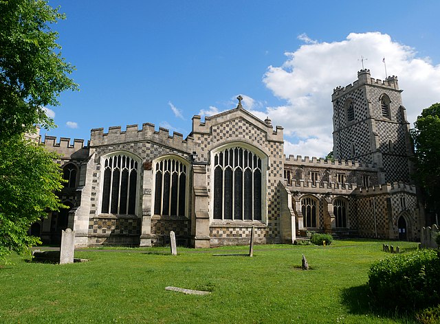
Image: Northwest Face of the Parish Church of Saint Mary, Luton (02)
Image: London Luton Airport geograph.org.uk 1446381