The Liard River of the North American boreal forest flows through Yukon, British Columbia and the Northwest Territories, Canada. Rising in the Saint Cyr Range of the Pelly Mountains in southeastern Yukon, it flows 1,115 km (693 mi) southeast through British Columbia, marking the northern end of the Rocky Mountains and then curving northeast back into Yukon and Northwest Territories, draining into the Mackenzie River at Fort Simpson, Northwest Territories. The river drains approximately 277,100 km2 (107,000 sq mi) of boreal forest and muskeg.
Liard River, Nahanni Ranges on western horizon
Liard River near Liard River Hot Springs
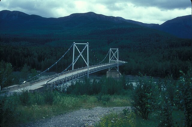
Liard River Suspension Bridge, built in 1944 on the Alaska Highway
Ferry across Liard River, way to Fort Simpson, Northwest Territories
Yukon is the smallest and westernmost of Canada's three territories. It is the third-least populated province or territory in Canada, with a population of 45,148 as of 2023. However, Whitehorse, the territorial capital, is the largest settlement in any of the three territories.
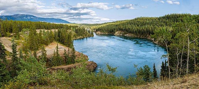
The Yukon River at Schwatka Lake and the entry to Miles Canyon
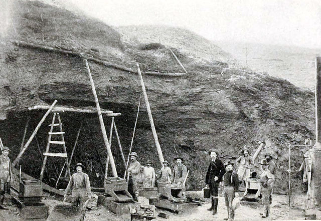
Hill-side mining during the Klondike Gold Rush, c. 1899
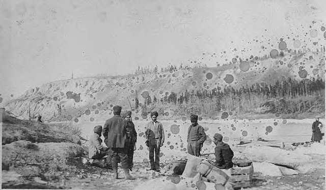
Sikhs in Whitehorse, Yukon in April 1906
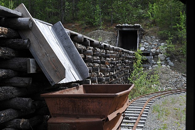
A conveyor belt and cart outside of a mine tunnel in the Yukon. The economy of the territory has historically been centred around mining.