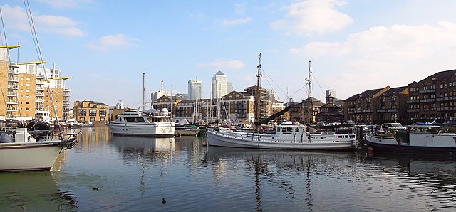
Limehouse Basin is a body of water 2 miles east of London Bridge that is also a navigable link between the River Thames and two of London's canals. First dug in 1820 as the eastern terminus of the new Regent's Canal, its wet area was less than 5 acres originally, but it was gradually enlarged in the Victorian era, reaching a maximum of double that size, when it was given its characteristic oblique entrance lock, big enough to admit 2,000-ton ships.
Limehouse Basin , Canary Wharf in background, October 2015
Collier congestion. (Edward William Cooke, The Thames near Limehouse, called the Lower Pool, British Museum)
Ceremonial opening,The Times, 2 August 1820
Limehouse Basin 1827 with shipping and barges; notice the sloping banks
Regent's Canal is a canal across an area just north of central London, England. It provides a link from the Paddington Arm of the Grand Union Canal, 550 yards (500 m) north-west of Paddington Basin in the west, to the Limehouse Basin and the River Thames in east London. The canal is 8.6 miles (13.8 km) long.
West portal of the Islington tunnel
Regent's Canal: Transfer certificate of 10 shares, issued 1 December 1818
The entrance to the Regent's Canal at Limehouse, 1823.
Macclesfield Bridge before the explosion. After the explosion it was also known as Blow Up Bridge.