Linear referencing, also called linear reference system or linear referencing system (LRS), is a method of spatial referencing in engineering and construction, in which the locations of physical features along a linear element are described in terms of measurements from a fixed point, such as a milestone along a road. Each feature is located by either a point or a line. If a segment of the linear element or route is changed, only those locations on the changed segment need to be updated.
Linear referencing is suitable for management of data related to linear features like roads, railways, oil and gas transmission pipelines, power and data transmission lines, and rivers.
A station number written on a silt fence at a construction site
A milestone is a numbered marker placed on a route such as a road, railway line, canal or boundary. They can indicate the distance to towns, cities, and other places or landmarks like mileage signs; or they can give their position on the route relative to some datum location. On roads they are typically located at the side or in a median or central reservation. They are alternatively known as mile markers, mileposts or mile posts. A "kilometric point" is a term used in metricated areas, where distances are commonly measured in kilometres instead of miles. "Distance marker" is a generic unit-agnostic term.
A mile marker on the U.S. National Road giving distances from many places
Slate milestone near Bangor, Wales
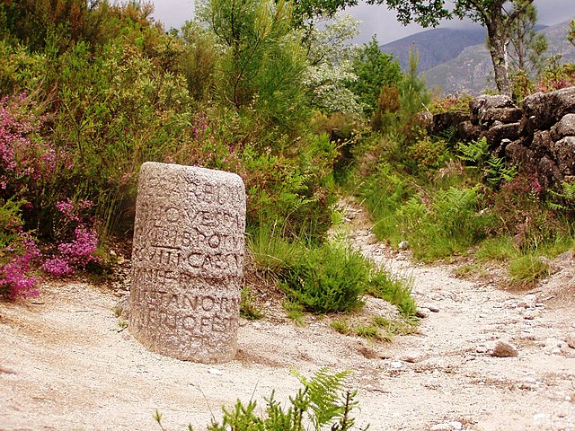
Roman milestone XXIX on Via Romana XVIII – the road linking the Iberian cities of Bracara Augusta and Asturica Augusta
Roman milestone on the former A66 between Kirkby Thore and Temple Sowerby (no inscription)