Listed buildings in Swadlincote
Swadlincote is a town in the South Derbyshire district of Derbyshire, England. It contains 24 listed buildings that are recorded in the National Heritage List for England. Of these, two are at Grade II*, the middle of the three grades, and the others are at Grade II, the lowest grade. The list contains the listed buildings in the town, and also those in the village of Church Gresley, the wards of Midway, and Newhall and Stanton, and part of the ward of Woodville. The listed buildings include houses and associated structures, farmhouses, churches, former industrial buildings including bottle kilns, a town hall, a showroom and a school.
Image: Church Gresley Church St Geo and St Mary
Image: The Shrubbery, Newhall
Image: Sharpe's Pottery Museum, Swadlincote geograph.org.uk 3090324
Image: Swadlincote Sharpes Pottery geograph.org.uk 1962865
Swadlincote is a historic mining town in the district of South Derbyshire, in the ceremonial county of Derbyshire, England. It lies within The National Forest area. It borders the counties of Leicestershire and Staffordshire, 5 miles (8 km) southeast of Burton upon Trent and north-west of Ashby-de-la-Zouch and 12 miles (19 km) southwest of Derby. It covers the suburban areas of Church Gresley, Goseley, Midway, Newhall, Oversetts and Woodville and had a population of 34,576 at the 2021 census.
Image: Entrance to Eureka Park, Swadlincote geograph.org.uk 3171977
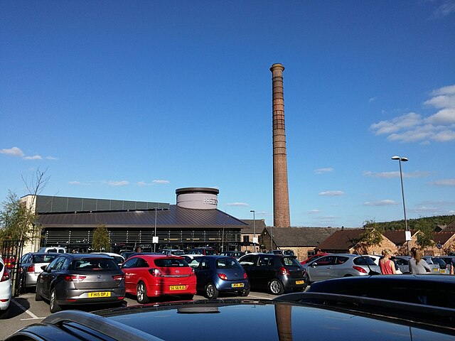
Image: The car park and chimney in Swadlincote geograph.org.uk 4675816
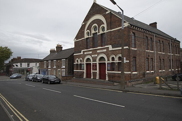
Image: Hill Street Baptist Chapel geograph.org.uk 5566044
The Ski Slope