Little Portugal is a neighbourhood and ethnic enclave in Toronto, Ontario, Canada. It is located west of downtown in the "Old" City of Toronto. It is bound on the west by Lansdowne Avenue, on the north by College Street, on the east by Ossington Avenue and on the south by the Go Transit and Union Pearson Express railway tracks. The area is mainly residential, with Portuguese businesses along Dundas Street West and College Street. The area west of Dufferin Street was a part of the former Town of Brockton. The area to the east of Dufferin and south of Dundas Street is also known as "Beaconsfield Village" dating back to the days of the sub-division of lots in the area around Beaconsfield Avenue.
Portuguese signs at a Bank of Montreal branch in Little Portugal. The area is home to a number of Portuguese stores along College and Dundas Street.
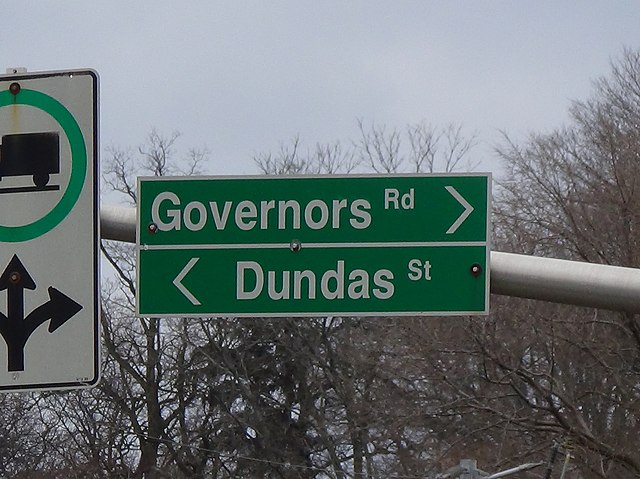
Dundas Street is a major four-lane east-west road running through the centre of the neighbourhood.
Dundas Street is a major historic arterial road in Ontario, Canada. The road connects the city of Toronto with its western suburbs and several cities in southwestern Ontario. Three provincial highways—2, 5, and 99—followed long sections of its course, although these highway segments have since been downloaded to the municipalities they passed through. Originally intended as a military route to connect the shipping port of York to the envisioned future capital of London, Ontario, the street today connects Toronto landmarks such as Yonge–Dundas Square and the city's principal Chinatown to rural villages and the regional centres of Hamilton and London.
Looking north at the corner of Yonge and Dundas, near Yonge-Dundas Square
Highway 427 northbound approaching interchange with Dundas Street, with Cloverdale Mall in the right of the background
Dundas Street in Mississauga
Dundas Street reverts to its historic alternate name in the street's namesake community; Dundas, Hamilton.