Little River is a 60-mile (97 km) river in Tennessee which drains a 380-square-mile (980 km2) area containing some of the most spectacular scenery in the southeastern United States. The first 18 miles (29 km) of the river are all located within the borders of the Great Smoky Mountains National Park. The remaining 42 miles (68 km) flow out of the mountains through Blount County to join the Tennessee River at Fort Loudon Lake in Knox County.
Middle Prong near the confluence of Thunderhead and Lynn Prongs
Little River at Three Forks, a mile or so below its source
Little River at Metcalf Bottoms
Lynn Camp Prong, just above its confluence with Thunderhead Prong
Great Smoky Mountains National Park
Great Smoky Mountains National Park is an American national park in the southeastern United States, with parts in North Carolina and Tennessee. The park straddles the ridgeline of the Great Smoky Mountains, part of the Blue Ridge Mountains, which are a division of the larger Appalachian Mountain chain. The park contains some of the highest mountains in eastern North America, including Clingmans Dome, Mount Guyot, and Mount Le Conte. The border between the two states runs northeast to southwest through the center of the park. The Appalachian Trail passes through the center of the park on its route from Georgia to Maine. With 13 million visitors in 2023, the Great Smoky Mountains National Park is the most visited national park in the United States.
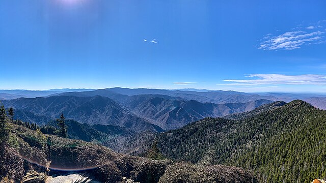
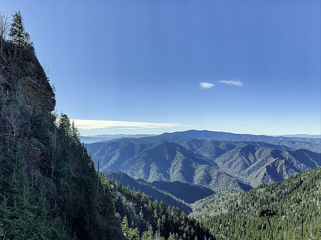
View from the Cliff Tops formation atop Mount Le Conte
Clingmans Dome is the highest mountain in the national park at 6,643 feet (2,025 m)
Mount Le Conte is the tallest mountain in eastern North America, measured from base to summit
The Sugarlands are one of several prominent valleys within the range


