Llanfihangel-y-Creuddyn is an ancient parish in the upper division of the hundred of Ilar, Ceredigion, West Wales, 7 miles south east from Aberystwyth, on the road to Rhayader, comprising the chapelry of Eglwys Newydd, or Llanfihangel y Creuddyn Uchaf, and the township of Llanfihangel y Creuddyn Isaf. It was also known as Lower Llanfihangel y Creuddyn, Lower Llanfihangel y Croyddin and Lower Llanfihangel y Croyddyn. This parish is situated on the rivers Ystwyth, Mynach and Rheidol and intersected by various other streams. An ancient parish was a village or group of villages or hamlets and the adjacent lands. Originally they held ecclesiastical functions, but from the sixteenth century onwards they also acquired civil roles. The parish may have been established as an ecclesiastical parish. Originally a medieval administrative unit, after 1597 ecclesiastical units acquired civil functions with the Elizabethan Poor Laws, which made the parishes responsible for welfare. The civil function was exercised through vestry meetings which administered the Poor Law and were responsible for local roads and bridges.

Saint Michael's church is the focal point of the old Hafod estate that lies within the parish.
Llanfihangel-y-Creuddyn viewed from the north.
Parish Church, Llanfihangel-y-Creuddyn.
Close-up of the sundial on Llanfihangel-y-Creuddyn church.
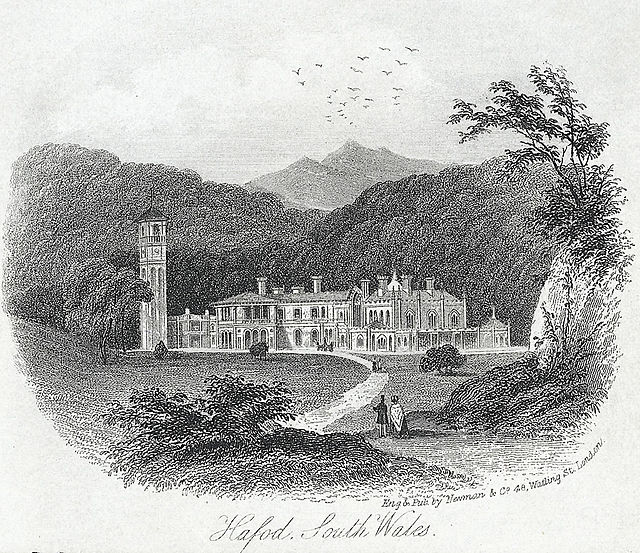
Hafod Uchtryd is a wooded and landscaped estate in the Ystwyth valley in Ceredigion, Wales. Near Devil's Bridge, Cwmystwyth and Pont-rhyd-y-groes, it is off the B4574 road. Hafod Uchtryd land was within the boundaries of the Cistercian Abbey Strata Florida. Originally a hunting lodge for Welsh Chieftains, it became home to the landed gentry and the nobility. In the late eighteenth century, a celebrated landscape was created under the ownership of Thomas Johnes.
A depiction of the Hafod Estate, circa 1795 by John Warwick Smith
Hafod Uchtryd circa 1795
Hafod with later additions to the house
Cavern Cascade, by John 'Warwick' Smith c.1810


