The Llano Uplift is a geologically ancient, low geologic dome that is about 90 miles (140 km) in diameter and located mostly in Llano, Mason, San Saba, Gillespie, and Blanco counties, Texas. It consists of an island-like exposure of Precambrian igneous and metamorphic rocks surrounded by outcrops of Paleozoic and Cretaceous sedimentary strata. At their widest, the exposed Precambrian rocks extend about 65 miles (105 km) westward from the valley of the Colorado River and beneath a broad, gentle topographic basin drained by the Llano River. The subdued topographic basin is underlain by Precambrian rocks and bordered by a discontinuous rim of flat-topped hills. These hills are the dissected edge of the Edwards Plateau, which consist of overlying Cretaceous sedimentary strata. Within this basin and along its margin are down-faulted blocks and erosional remnants of Paleozoic strata which form prominent hills.
Llano area in relief context
Enchanted Rock near Fredericksburg, painted by Hermann Lungkwitz in 1864, oil.
Enchanted Rock
Llanite rock
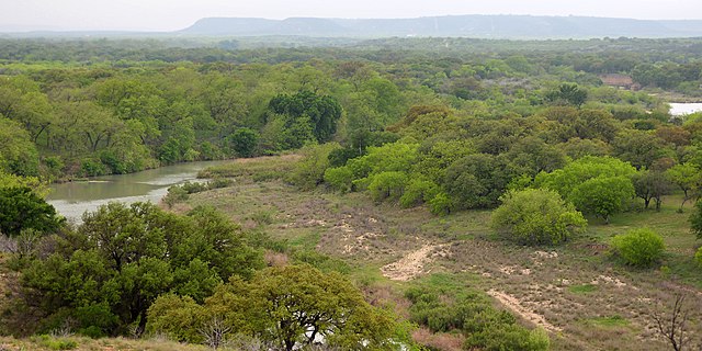
The Llano River is a tributary of the Colorado River, about 105 miles (169 km) long, in Texas in the United States. It drains part of the Edwards Plateau in Texas Hill Country northwest of Austin.
Sandstone bluffs along the Llano River, Mason County
Llano River from County Road 320, Kimble County, Texas, USA (17 April 2015)