Llanos Basin
Videos
Page
The Llanos Basin or Eastern Llanos Basin is a major sedimentary basin of 96,000 square kilometres (37,000 sq mi) in northeastern Colombia. The onshore foreland on Mesozoic rift basin covers the departments of Arauca, Casanare and Meta and parts of eastern Boyacá and Cundinamarca, western Guainía, northern Guaviare and southeasternmost Norte de Santander. The northern boundary is formed by the border with Venezuela, where the basin grades into the Barinas-Apure Basin.

Rivers of the Llanos Basin
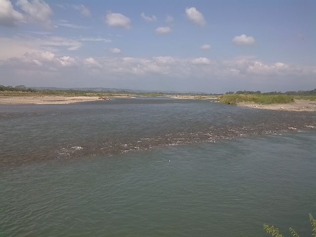
Ariarí River

Coiba & Malpelo Plates

The Cerros de Mavecure in Guainía are a remnant of the Proterozoic basement underlying the Llanos Basin
Foreland basin
Videos
Page
A foreland basin is a structural basin that develops adjacent and parallel to a mountain belt. Foreland basins form because the immense mass created by crustal thickening associated with the evolution of a mountain belt causes the lithosphere to bend, by a process known as lithospheric flexure. The width and depth of the foreland basin is determined by the flexural rigidity of the underlying lithosphere, and the characteristics of the mountain belt. The foreland basin receives sediment that is eroded off the adjacent mountain belt, filling with thick sedimentary successions that thin away from the mountain belt. Foreland basins represent an endmember basin type, the other being rift basins. Space for sediments is provided by loading and downflexure to form foreland basins, in contrast to rift basins, where accommodation space is generated by lithospheric extension.
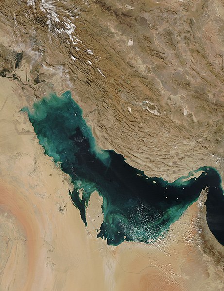
The Persian Gulf – the foreland basin produced by the Zagros orogenic belt