Llanthony Priory
Videos
Page
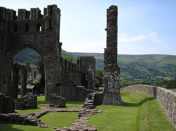
Llanthony Priory is a partly ruined former Augustinian priory in the secluded Vale of Ewyas, a steep-sided once-glaciated valley within the Black Mountains area of the Brecon Beacons National Park in Monmouthshire, south east Wales. It lies seven miles north of Abergavenny on an old road to Hay-on-Wye at Llanthony. The priory ruins lie to the west of the prominent Hatterrall Ridge, a limb of the Black mountains. The main ruins are under the care of Cadw and entrance is free.
Llanthony Priory

Llanthony Priory's tower and nave
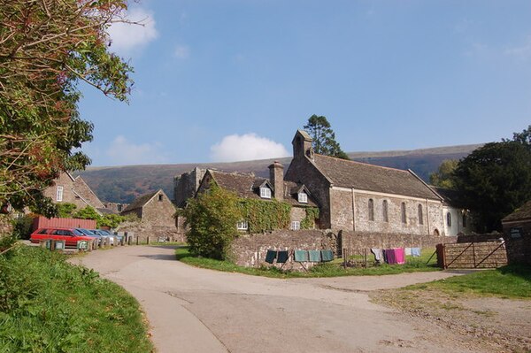
The Church of St David
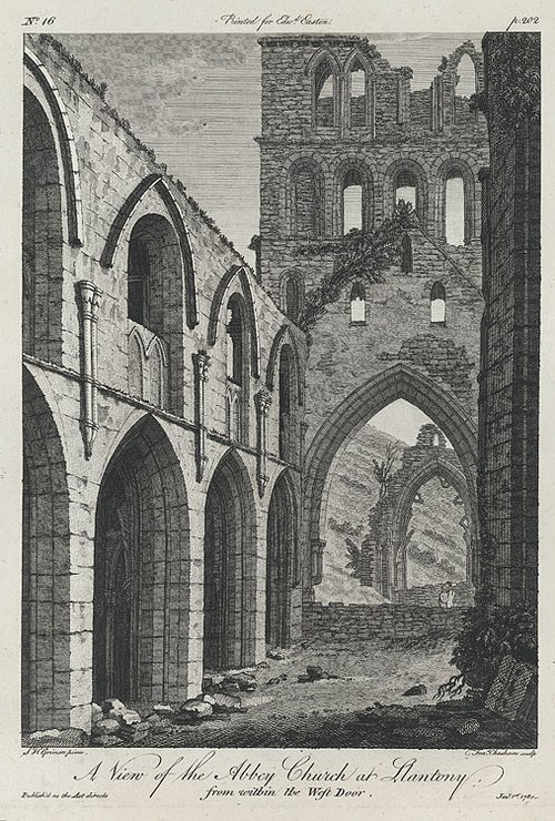
An 1780 engraving of Llanthony Abbey, viewed from the West door
Black Mountains, United Kingdom
Videos
Page
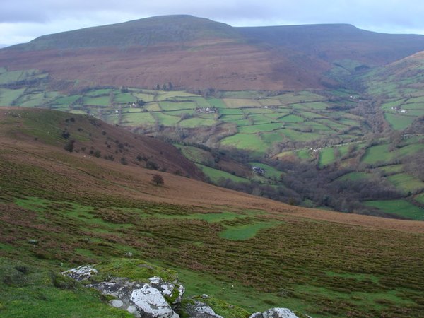
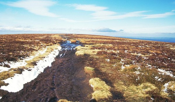
The Black Mountains are a group of hills spread across parts of Powys and Monmouthshire in southeast Wales, and extending across the England–Wales border into Herefordshire. They are the easternmost of the four ranges of hills that comprise the Brecon Beacons National Park, and are frequently confused with the westernmost, which is known as the Black Mountain. The Black Mountains may be roughly defined as those hills contained within a triangle defined by the towns of Abergavenny in the southeast, Hay-on-Wye in the north and the village of Llangors in the west. Other gateway towns to the Black Mountains include Talgarth and Crickhowell. The range of hills is well known to walkers and ramblers for the ease of access and views from the many ridge trails, such as that on the Black Hill in Herefordshire, at the eastern edge of the massif. The range includes the highest public road in Wales at Gospel Pass, and the highest point in southern England at Black Mountain.
Pen Cerrig-calch and Pen Allt-mawr in the south-west of the Black Mountains range
The summit of Black Mountain crossed by the Offa's Dyke Path
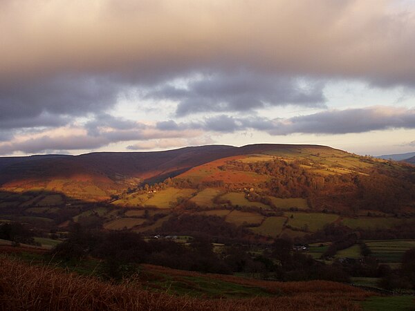
The southern part of the Grwyne Fechan valley in the Black Mountains
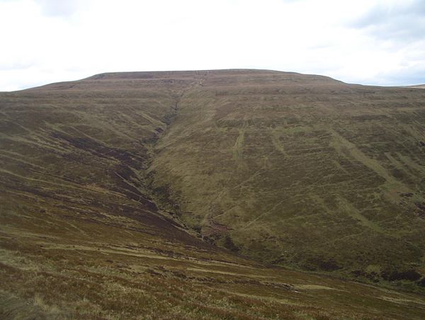
Waun Fach from Mynydd Llysiau