Lord Howe Island is an irregularly crescent-shaped volcanic remnant in the Tasman Sea between Australia and New Zealand, part of the Australian state of New South Wales. It lies 600 km (320 nmi) directly east of mainland Port Macquarie, 780 km (420 nmi) northeast of Sydney, and about 900 km (490 nmi) southwest of Norfolk Island. It is about 10 km (6.2 mi) long and between 0.3 and 2.0 km wide with an area of 14.55 km2, though just 3.98 km2 of that comprise the low-lying developed part of the island.
A silhouette of Lieutenant Henry Lidgbird Ball, the commander of HMS Supply
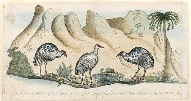
The extinct white gallinule (Porphyrio albus). A drawing made in May 1788 by Arthur Bowes Smyth who was the surgeon aboard Lady Penrhyn, a ship of the First Fleet heading for China on its return trip to England
Lord Howe Island Maritime Museum and Information Centre
"Expedition to the South Seas: HMS Herald and steamship tender Torch" The Illustrated London News, 15 May 1852
The Tasman Sea is a marginal sea of the South Pacific Ocean, situated between Australia and New Zealand. It measures about 2,000 km (1,200 mi) across and about 2,800 km (1,700 mi) from north to south. The sea was named after the Dutch explorer Abel Janszoon Tasman, who in 1642 was the first known person to cross it. British explorer Lieutenant James Cook later extensively navigated the Tasman Sea in the 1770s during his three voyages of exploration.
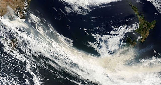
Satellite photo of the Tasman Sea
Smoke from the Black Saturday bushfires crosses the southern Tasman Sea


