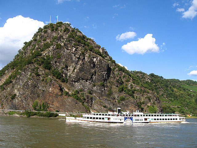
The Lorelei is a 132-metre-high (433 ft), steep slate rock on the right bank of the River Rhine in the Rhine Gorge at Sankt Goarshausen in Germany, part of the Upper Middle Rhine Valley UNESCO World Heritage Site. The 1930s Loreley Amphitheatre is on top of the rock.
View from the left bank of the Rhine at St. Goar
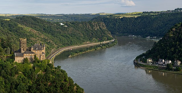
Aerial image of Katz Castle and the Lorelei
The Lorelei in 1900
View of the Rhine as seen from the Lorelei
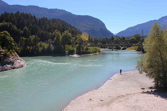
The Rhine is one of the major European rivers. The river begins in the Swiss canton of Graubünden in the southeastern Swiss Alps. It forms part of the Swiss-Liechtenstein, Swiss-Austrian, and Swiss-German borders. After that the Rhine defines much of the Franco-German border, after which it flows in a mostly northerly direction through the German Rhineland. Finally in Germany, the Rhine turns into a predominantly westerly direction and flows into the Netherlands where it eventually empties into the North Sea. It drains an area of 9,973 km2 and its name derives from the Celtic Rēnos. There are also two German states named after the river, North Rhine-Westphalia and Rhineland-Palatinate.
The Rhine in Basel, Switzerland
Lake Toma seen from the Rhine's upstream end
The confluence of the Anterior Rhine to the lower left and the Posterior Rhine in the background forms the Alpine Rhine (to the left) next to Reichenau.
The Rhine between Sargans in Switzerland (left) and Balzers in Liechtenstein (right) with the Gonzen (1,829 m (6,001 ft), left), the Girrenspitz (2,099 m (6,886 ft)) in the back, and the Maziferchopf (855 m (2,805 ft)) to the right