Los Altos, California
Videos
Page
Los Altos is a city in Santa Clara County, California, in the San Francisco Bay Area. The population was 31,625 according to the 2020 census.

A City of Los Altos entrance marker, located in Lincoln Park just off of Main Street

A store in disarray following the 1989 Loma Prieta earthquake

Dead and diseased trees in the Redwood Grove were cut down in 2017, to be milled on-site in 2018.

Mallard in May, 2010, in Adobe Creek; the creek typically runs dry by summer.
California county routes in zone G
Videos
Page
There are 21 routes assigned to the "G" zone of the California Route Marker Program, which designates county routes in California. The "G" zone includes county highways in Monterey, San Benito, San Luis Obispo, Santa Clara, and Santa Cruz counties.
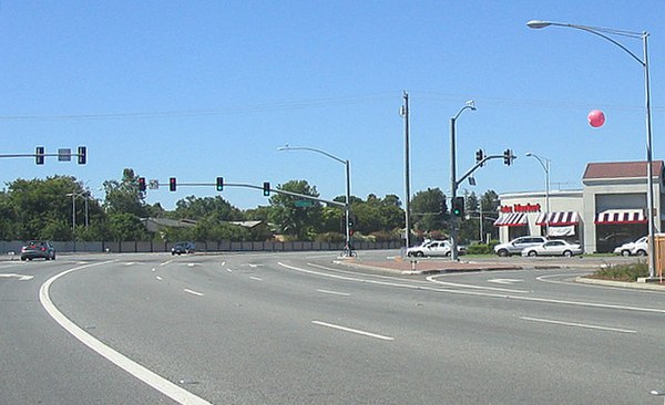
Intersection of Lawrence Expressway and Prospect Road in San Jose, California
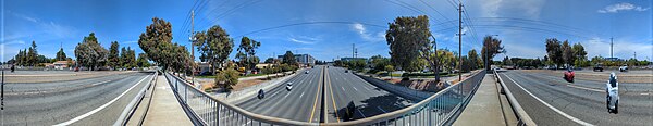
Lawrence (looking south, center) at Central Expressway

Page Mill Road heading downhill toward Hanover Street and El Camino Real
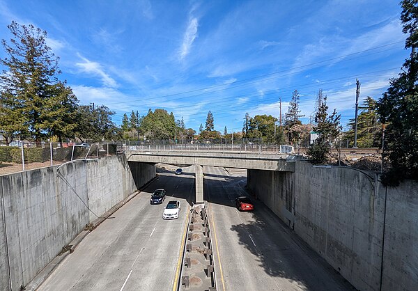
Oregon Expressway where it goes under Park Blvd., the Caltrain tracks, and Alma Street (which is also the start of G6)