The Los Angeles Basin is a sedimentary basin located in Southern California, in a region known as the Peninsular Ranges. The basin is also connected to an anomalous group of east-west trending chains of mountains collectively known as the Transverse Ranges. The present basin is a coastal lowland area, whose floor is marked by elongate low ridges and groups of hills that is located on the edge of the Pacific Plate. The Los Angeles Basin, along with the Santa Barbara Channel, the Ventura Basin, the San Fernando Valley, and the San Gabriel Basin, lies within the greater Southern California region. The majority of the jurisdictional land area of the city of Los Angeles physically lies within this basin.
An aerial view of the Los Angeles Basin in the Peninsular Ranges in Southern California in June 2014
Los Angeles County has five major drainage basins, or watersheds: Santa Clara River, Ballona Creek, Dominguez Channel, Los Angeles River, and San Gabriel River
Los Angeles City Oil Field in 1905
The stratigraphy of the Cenozoic Basin
The Transverse Ranges are a group of mountain ranges of southern California, in the Pacific Coast Ranges physiographic region in North America. The Transverse Ranges begin at the southern end of the California Coast Ranges and lie within Santa Barbara, Ventura, Los Angeles, San Bernardino, Riverside and Kern counties. The Peninsular Ranges lie to the south. The name Transverse Ranges is due to their east–west orientation, making them transverse to the general northwest–southeast orientation of most of California's coastal mountains.
The Ranges rise steeply above major urban areas such as Los Angeles
Snowy Mt. Baden-Powell in the San Gabriel Mountains
View west of the eastern portion of the San Bernardino and San Gabriel Mountains, with the Mojave Desert on the right and Silverwood Lake near the boundary. The San Andreas Fault runs straight up the middle toward the horizon.
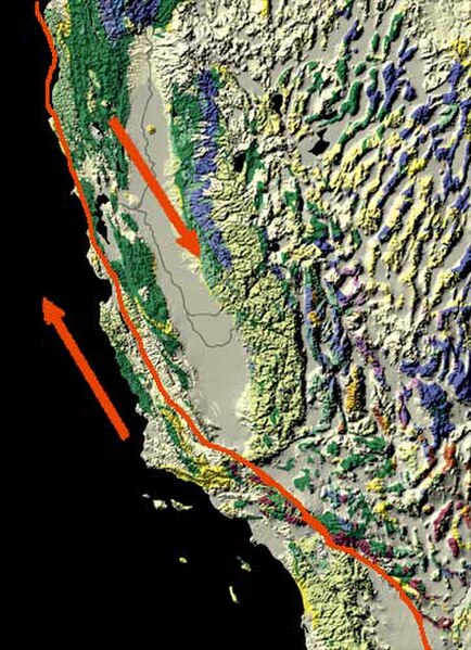
The San Andreas Fault trends more east-west where it cuts through the Transverse Ranges.


