Lougheed Island
Videos
Lougheed Island is one of the uninhabited members of the Queen Elizabeth Islands of the Arctic Archipelago in the Qikiqtaaluk Region, Nunavut. It measures 1,312 km2 in size. It is relatively isolated

Lougheed Island and King Christian Island. Satellite image created by the MODIS Rapid Response System, NASA/GSFC
Resolute, Nunavut
Videos
Resolute or Resolute Bay is an Inuit hamlet on Cornwallis Island in Nunavut, Canada. It is at the northern end of Resolute Bay and the Northwest Passage and is part of the Qikiqtaaluk Region.
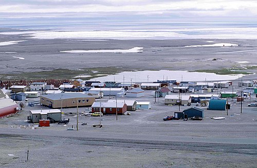
Resolute in August 1997. Visible on the left is a long school building (brown).

Resolute Bay, Nunavut, 2002

Resolute at Sundown, 2002

Stone Cairn, 2002