Lower Colorado River Valley
Videos
The Lower Colorado River Valley (LCRV) is the river region of the lower Colorado River of the southwestern United States in North America that rises in the Rocky Mountains and has its outlet at the Colorado River Delta in the northern Gulf of California in northwestern Mexico, between the states of Baja California and Sonora. This north–south stretch of the Colorado River forms the border between the U.S. states of California/Arizona and Nevada/Arizona, and between the Mexican states of Baja California/Sonora.

A section of the LCRV showing the Colorado Desert (yellow dotted line) in the west, the Salton Sea, and the three US bordering states on the Colorado River. Portions of the Mexican states of Baja California and Sonora also shown. Proximity to San Diego and the rain shadow of coastal mountains is also shown.

Trigo Mountains Wilderness, a ridgeline wilderness area on the eastern border of the river proper, 30 miles north of Yuma–Winterhaven. A buckhorn cholla cactus is in foreground; creosote bush scrubland on hillsides.
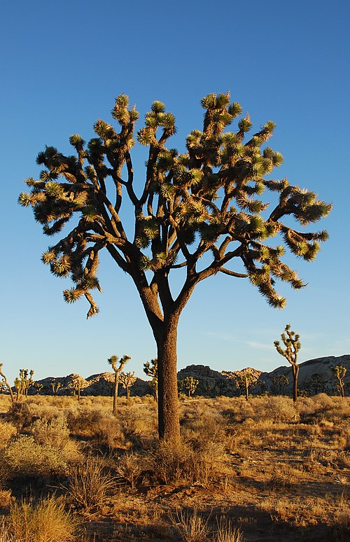
Yucca brevifolia (Joshua tree)

Abronia villosa (sand verbena)
Cocopah
Videos
The Cocopah are Native Americans who live in Baja California, Mexico, and Arizona, United States.
