The Lunae Palus quadrangle is one of a series of 30 quadrangle maps of Mars used by the United States Geological Survey (USGS) Astrogeology Research Program. The quadrangle is also referred to as MC-10. Lunae Planum and parts of Xanthe Terra and Chryse Planitia are found in the Lunae Palus quadrangle. The Lunae Palus quadrangle contains many ancient river valleys.
Image of the Lunae Palus Quadrangle (MC-10). The central part includes Lunae Planum which, on the west and north borders, is dissected by Kasei Valles which, in turn, terminates in Chryse Planitia.
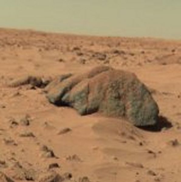
"Big Joe" rock on Mars—viewed by the Viking 1 Lander (February 11, 1978)
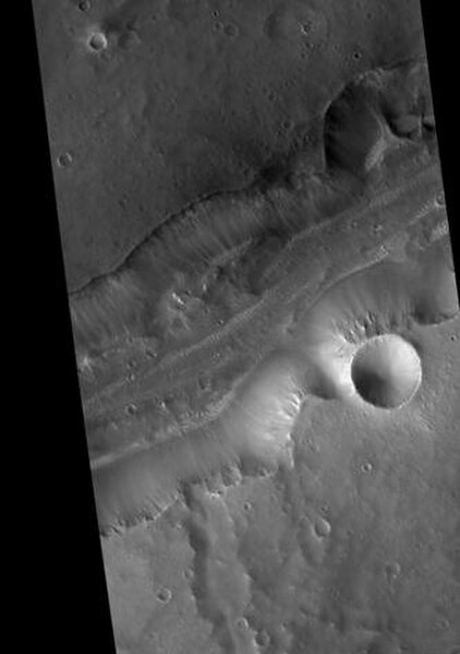
Bahram Vallis, as seen by HiRISE. Rotational landslides (slumps) are visible at the base of north wall
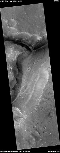
Close view of part of Bahram Vallis, as seen by HiRISE under HiWish program
Chryse Planitia is a smooth circular plain in the northern equatorial region of Mars close to the Tharsis region to the west, centered at 28.4°N 319.7°E. Chryse Planitia lies partially in the Lunae Palus quadrangle, partially in the Oxia Palus quadrangle, partially in the Mare Acidalium quadrangle. It is 1600 km or 994 mi in diameter and with a floor 2.5 km below the average planetary surface altitude, and has been suggested to be an ancient buried impact basin, though this is contested. It has several features in common with lunar maria, such as wrinkle ridges. The density of impact craters in the 100 to 2,000 metres range is close to half the average for lunar maria.
Waters from Vedra Valles, Maumee Valles, and Maja Valles went from Lunae Planum on the left, to Chryse Planitia on the right. Image is located in Lunae Palus quadrangle and was taken by Viking Orbiter.
Ares Vallis, capture by Viking and edited as a false color image. The channel is 25 km wide and about 1 km deep. It would be quite spectacular to walk down this valley.


