M-13 is a 73.339-mile (118.028 km) north–south state trunkline highway that runs through the Saginaw Bay region of the US state of Michigan. It runs from Interstate 69 (I-69) south of Lennon to US Highway 23 (US 23) near Standish. The southern section of the trunkline runs along a pair of county lines in a rural area dominated by farm fields. The highway directly connects the downtown areas of both Saginaw and Bay City. North of the latter city, the Lake Huron Circle Tour follows M-13 along the Saginaw Bay.
The Lafayette Avenue Bridge carries M-13/M-84 across the Saginaw River in Bay City
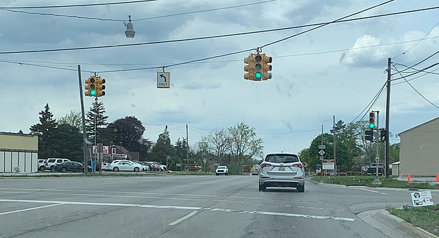
M-13 looking north in Kawkawlin
The northern terminus of M-13 in Standish Township
Interstate 69 in Michigan
Interstate 69 (I-69) is a part of the Interstate Highway System that will eventually run from the Mexican border in Texas to the Canadian border at Port Huron, Michigan. In Michigan, it is a state trunkline highway that enters the state south of Coldwater and passes the cities of Lansing and Flint in the Lower Peninsula. A north–south freeway from the Indiana–Michigan border to the Lansing area, it changes direction to east–west after running concurrently with I-96. The freeway continues to Port Huron before terminating in the middle of the twin-span Blue Water Bridge while running concurrently with I-94 at the border. There are four related business loops for I-69 in the state, connecting the freeway to adjacent cities.
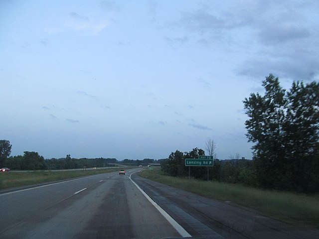
Approaching exit 70
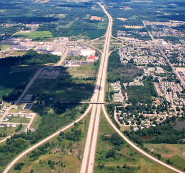
Aerial view looking north from the I-496 interchange along I-96/I-69 west of Lansing
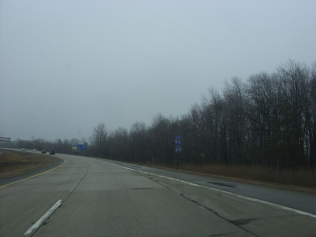
I-94/I-69 eastbound near Port Huron
The twin-span Blue Water Bridge


