M-28 is an east–west state trunkline highway that traverses nearly all of the Upper Peninsula of the U.S. state of Michigan, from Wakefield to near Sault Ste. Marie in Bruce Township. Along with US Highway 2 (US 2), M-28 forms a pair of primary highways linking the Upper Peninsula from end to end, providing a major access route for traffic from Michigan and Canada along the southern shore of Lake Superior. M-28 is the longest state trunkline in Michigan numbered with the "M-" prefix at 290.373 miles (467.310 km). The entire highway is listed on the National Highway System, while three sections of M-28 are part of the Lake Superior Circle Tour. M-28 also carries two memorial highway designations along its route.
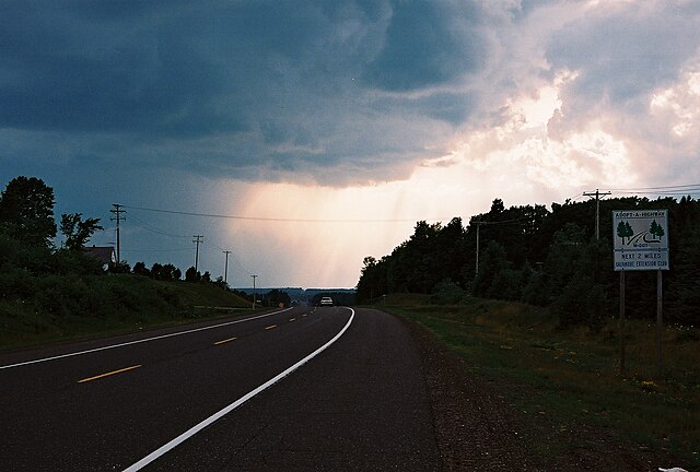
Clouds brewing over M-28 in western Ontonagon County
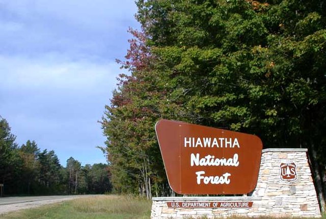
Hiawatha National Forest road sign on M-28/M-94 in Alger County west of Shingleton
The Seney Stretch along M-28
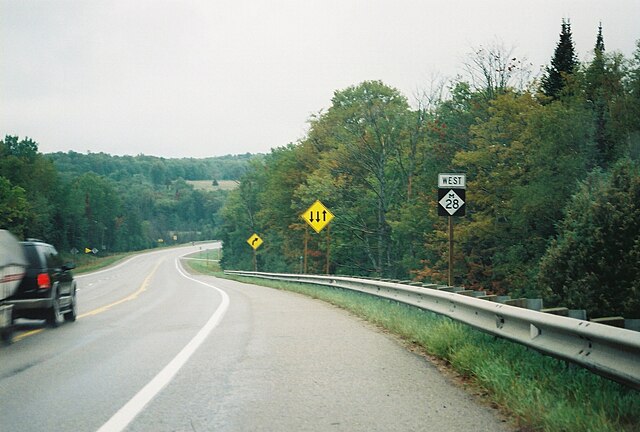
A passing lane on M-28 westbound near McMillan
Wakefield is a city in Gogebic County in the U.S. state of Michigan. The population was 1,702 at the 2020 census.
Nee-Gaw-Nee-Gaw-Bow (Leading Man), by Peter Wolf Toth (1988), to honor the Ojibwe people; it is located on the lakeside pier next to the Wakefield Visitor’s Center and was carved from one piece of pine donated by the Ottawa National Forest. It is one of Toth's Whispering Giants.
Sunday Lake
Sunday Lake in autumn
View from "Tank Hill"


