Machynlleth
Videos
Photos
Machynlleth is a market town, community and electoral ward in Powys, Wales and within the historic boundaries of Montgomeryshire. It is in the Dyfi Valley at the intersection of the A487 and the A489 roads. At the 2001 Census it had a population of 2,147, rising to 2,235 in 2011. It is sometimes referred to colloquially as Mach.

Machynlleth Clock Tower

Dyfi Bridge

Machynlleth Clock Tower, circa 1885

Y Plas, Machynlleth
Powys
Videos
Photos
Powys is a county and preserved county in Wales. It borders Gwynedd, Denbighshire, and Wrexham to the north; the English ceremonial counties of Shropshire and Herefordshire to the east; Monmouthshire, Blaenau Gwent, Merthyr Tydfil, Caerphilly, Rhondda Cynon Taf, and Neath Port Talbot to the south; and Carmarthenshire and Ceredigion to the west. The largest settlement is Newtown, and the administrative centre is Llandrindod Wells.

Image: Montgomery Castle geograph.org.uk 1923084
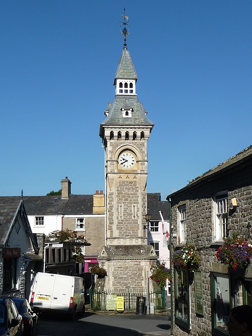
Image: Hay on Wye Clock Tower 02

Image: Craig Goch Dam Powys (5288105422)