Magherafelt is a town and civil parish in County Londonderry, Northern Ireland. It had a population of 9,071 at the 2021 Census. It is the biggest town in the south of the county and is the social, economic and political hub of the area. It is part of Mid-Ulster District.
Magherafelt town centre.
The Bridewell, Magherafelt - geograph.org.uk - 573457
St Mary's Grammar School, Magherafelt
County Londonderry, also known as County Derry, is one of the six counties of Northern Ireland, one of the thirty-two counties of Ireland and one of the nine counties of Ulster. Before the partition of Ireland, it was one of the counties of the Kingdom of Ireland from 1613 onward and then of the United Kingdom after the Acts of Union 1800. Adjoining the north-west shore of Lough Neagh, the county covers an area of 2,118 km2 (818 sq mi) and today has a population of about 252,231.
A cannon sits atop the historic Derry Walls, which look over Derry City.
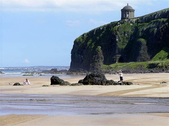
Downhill Strand.
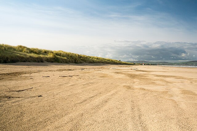
Benone Strand
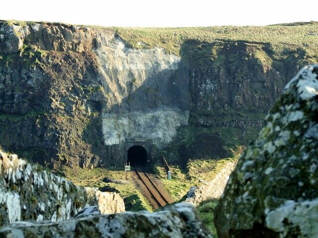
Downhill Tunnels near Castlerock railway station.