Manchester Bolton & Bury Canal
The Manchester Bolton & Bury Canal is a disused canal in Greater Manchester, England, built to link Bolton and Bury with Manchester. The canal, when fully opened, was 15 miles 1 furlong (24 km) long. It was accessed via a junction with the River Irwell in Salford. Seventeen locks were required to climb to the summit as it passed through Pendleton, heading northwest to Prestolee before it split northwest to Bolton and northeast to Bury. Between Bolton and Bury the canal was level and required no locks. Six aqueducts were built to allow the canal to cross the rivers Irwell and Tonge and several minor roads.
The Grade II Listed steam crane at Mount Sion, on the Bury arm
Ladyshore Colliery
Nob End Locks in operation
A retaining wall along the Bury arm
Bolton is a town in Greater Manchester in England. In the foothills of the West Pennine Moors, Bolton is between Manchester, Blackburn, Wigan, Bury and Salford. It is surrounded by several towns and villages that form the wider borough, of which Bolton is the administrative centre. The town is within the historic county boundaries of Lancashire.
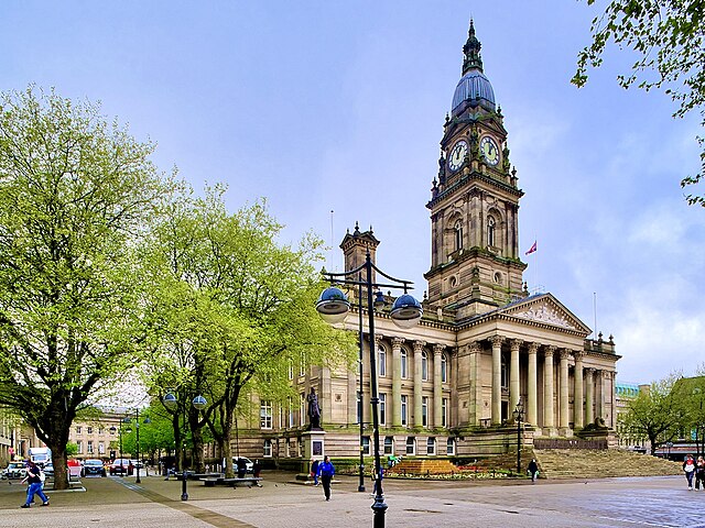
Image: Bolton Town Hall, Victoria Square (geograph 7172391)
Image: Market Place, Bolton geograph.org.uk 3138427
Image: Deansgate from Churchgate (geograph 6900931)
Image: Churchgate, Bolton geograph.org.uk 3183817


