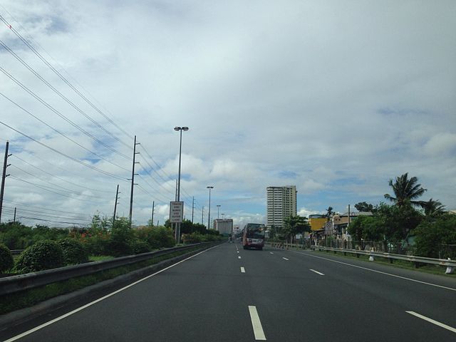
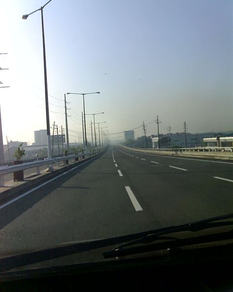
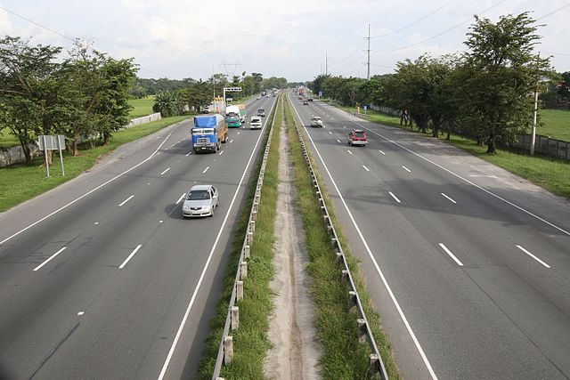
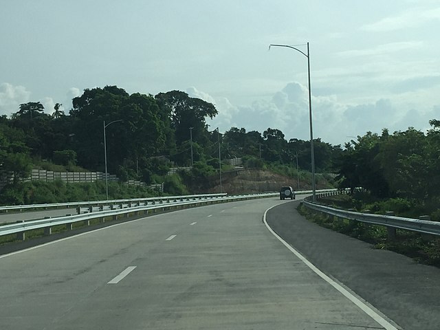
The Manila–Cavite Expressway, signed as E3 of the Philippine expressway network and R-1 of Metro Manila's arterial road network, is a 14-kilometer-long (8.7 mi) controlled-access highway linking Manila to the southern province of Cavite in the Philippines. At its north end, it feeds into and from Roxas Boulevard in the city of Parañaque in Metro Manila, also part of R-1. At the south end, it splits into two termini, both along the north coast in Kawit, Cavite. The first feeds into the intersection of Covelandia Road, Tirona Highway and Antero Soriano Highway. The second southern terminus is an exit-only to Tirona Highway in Barangay Marulas.
CAVITEX looking northbound near Zapote, Las Piñas
The expressway in Parañaque
The expressway's Kawit extension
Daniel Burnham's plan of the Cavite Boulevard from Manila to Cavite
Philippine expressway network
The Philippine expressway network, also known as the High Standard Highway Network, is a controlled-access highway network managed by the Department of Public Works and Highways (DPWH) which consists of all expressways and regional high standard highways in the Philippines.
The Skyway, the first elevated toll road in the country, as pictured in 2007
Image: View From NLEX Overpass, Bulacan, Philippines panoramio
Image: Pic geo photos ph=mm=muntinlupa=slex view from bilibid overpass philippines 2015 0428 ls
Image: Muntinlupa–Cavite Expwy 2


