The Manistee National Forest is a national forest located in the Lower Peninsula of Michigan. It has a total area of 540,187 acres (2,190 km2). It was established in 1938, and combined with the Huron National Forest in 1945 for administrative purposes, creating the Huron-Manistee National Forests. However, they are two separate forest units, as they are not connected. The area is popular for hiking, fishing, camping, boating, snowmobiling, cross-country skiing and hunting. The North Country Trail passes through it, and connects with the 11-mile Manistee River Trail to form a 23-mile loop. The highest point in the lower peninsula, Briar Hill (1,706 ft), is located here. The Manistee National Forest is not one continuous mass, but is a "mosaic" broken by private property and towns. The headquarters for the forest is in Cadillac, Michigan.
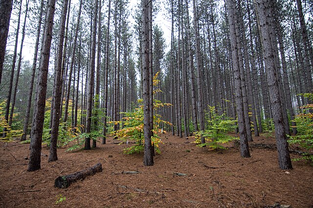
Red Pine plantation in the Manistee National Forest
A United States Forest Service (USFS) road near Briar Hill
A scenic overlook atop a hill in the Manistee National Forest
The Manistee National Forest consists of a mix of hardwoods and pine
The Huron National Forest is a National Forest in the Lower Peninsula of Michigan. It was established in 1909 after the logging era began to decline. In 1945, it was administratively combined with the Manistee National Forest, to create the Huron-Manistee National Forest. However, these are not connected and are separate forests. It provides recreation opportunities for visitors, habitat for fish and wildlife, and resources for local industry. The headquarters for the forest is located in Cadillac, Michigan.
The Au Sable River in the Huron National Forest
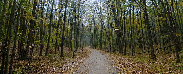
Trail in the Huron National Forest, Michigan
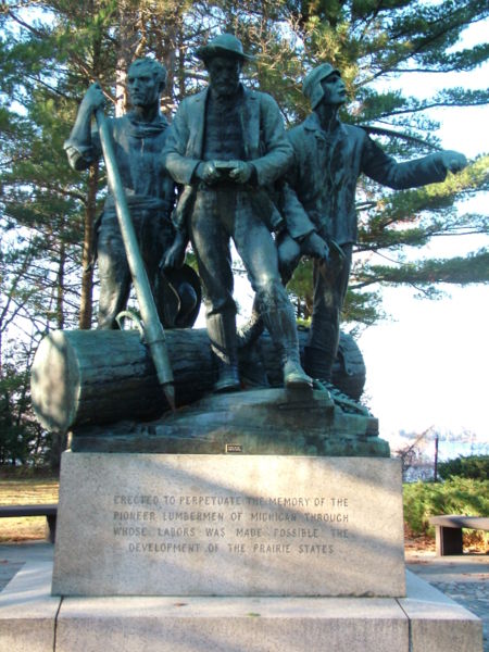
The Lumberman's Monument, dedicated to the workers of the early logging industry, is located within the eastern part of the forest near Oscoda.


