Manus Island is part of Manus Province in northern Papua New Guinea and is the largest of the Admiralty Islands. It is the fifth-largest island in Papua New Guinea, with an area of 2,100 km2 (810 sq mi), measuring around 100 km × 30 km. Manus Island is covered in rugged jungles which can be broadly described as lowland tropical rain forest. The highest point on Manus Island is Mt. Dremsel, 718 metres (2,356 ft) above sea level at the centre of the south coast. Manus Island is volcanic in origin and probably broke through the ocean's surface in the late Miocene, 8 to 10 million years ago. The substrate of the island is either directly volcanic or from uplifted coral limestone.
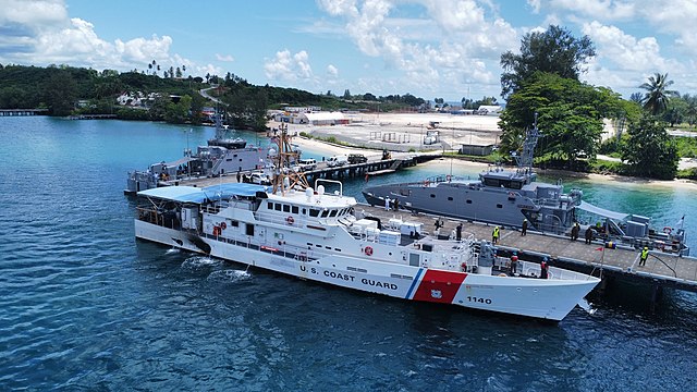
PNG Defence Force and United States Coast Guard patrol boats at Manus Island in 2022
Papua New Guinea, officially the Independent State of Papua New Guinea, is a country in Oceania that comprises the eastern half of the island of New Guinea and its offshore islands in Melanesia. It shares its only land border with Indonesia to the west and it is directly adjacent to Australia to the south and the Solomon Islands to the east. Its capital, located along its southeastern coast, is Port Moresby. The country is the world's third largest island country, with an area of 462,840 km2 (178,700 sq mi).
Kerepunu women at the marketplace of Kalo, British New Guinea, 1885
Female gable image, Sawos people, Oceanic art in the Bishop Museum
British annexation of southeast New Guinea in 1884
Australian forces attack Japanese positions during the Battle of Buna–Gona, 7 January 1943.