Marina Beach
Videos
Photos
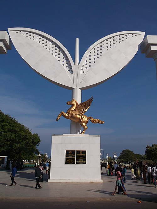
Marina Beach, or simply the Marina, is a natural urban beach in Chennai, Tamil Nadu, India, along the Bay of Bengal. The beach runs from near Fort St. George in the north to Foreshore Estate in the south, a distance of 6.0 km (3.7 mi), making it the second longest urban beach in the world, after Cox's Bazar Beach. It is a prominent landmark in Chennai.

Marina Beach as seen from the Chennai Lighthouse

The beach promenade in 1913

C. N. Annadurai's Memorial
M.G.R. and Amma Memorial
Urban beach
Videos
Photos
An urban beach is an artificially-created environment in an urban setting which simulates a public beachfront, through the use of sand, beach umbrellas, and seating elements. Urban beaches are designed to surprise and delight city residents, workers, and visitors by inserting a beach atmosphere into an urban area that would otherwise be a typical cityscape.

Urban beach at HTO Park in Toronto